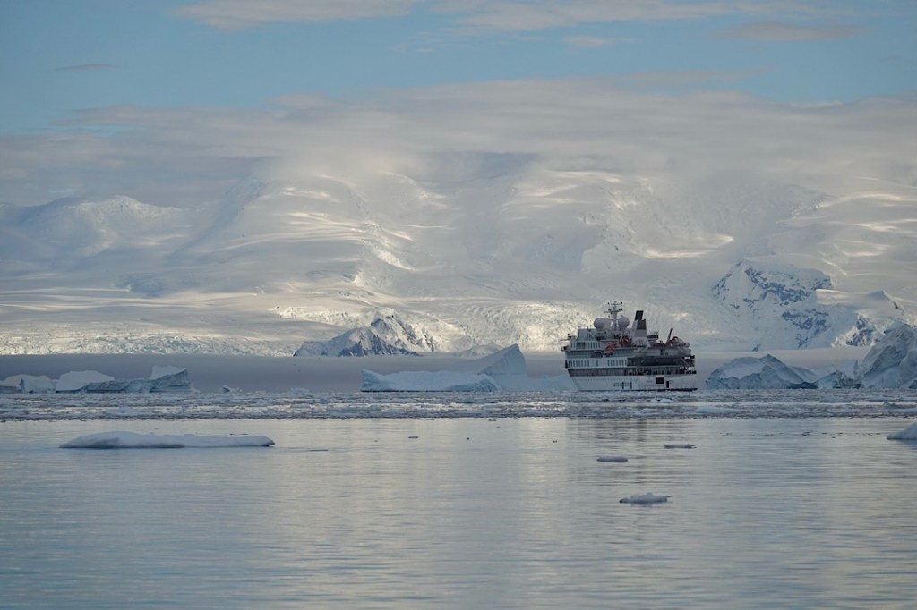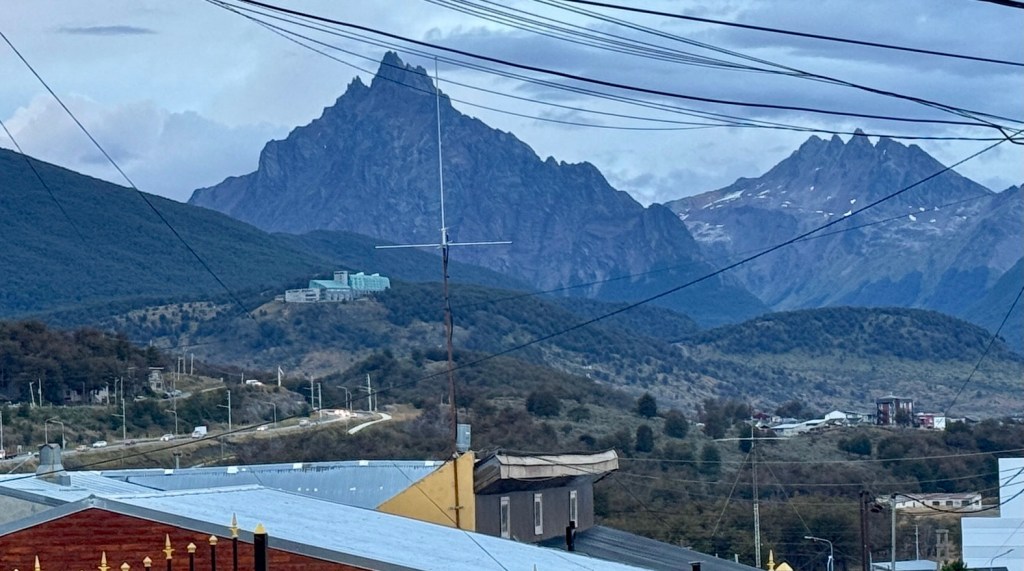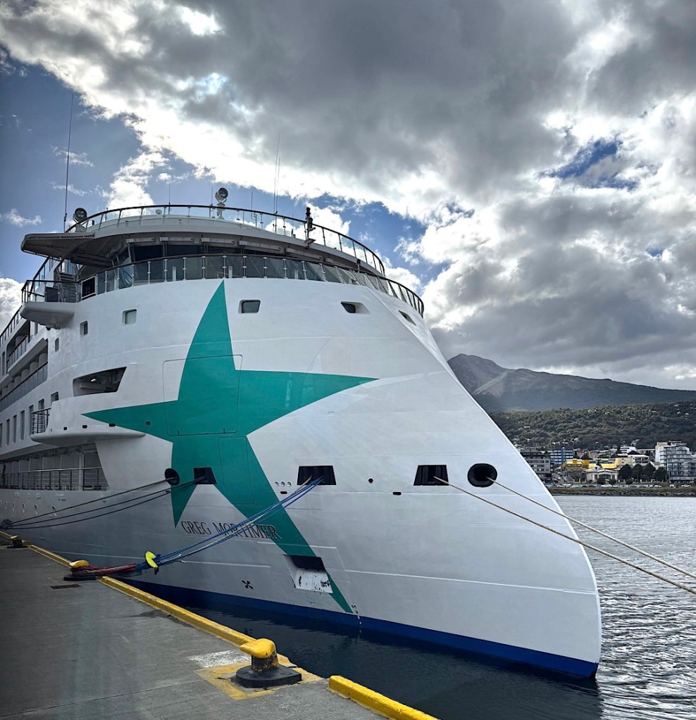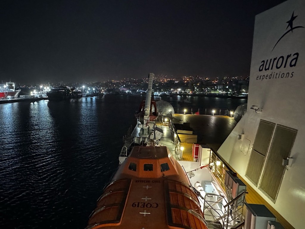
We tied up at the dock in Ushuaia around 7:00 Wednesday morning (3/25). Snowflakes swirled against a black sky. When the world began to lighten a half hour later, I was startled to see many of the mountains encircling the city covered in white. In the three weeks we’d been gone, we’d passed the vernal equinox on the calendar, but it felt a lot more like winter had arrived back in port.
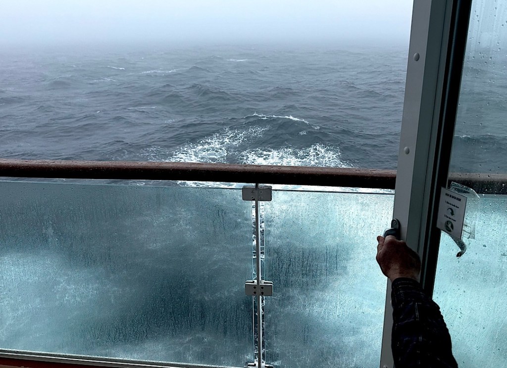
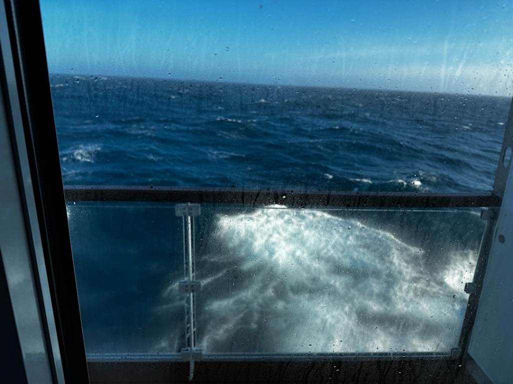
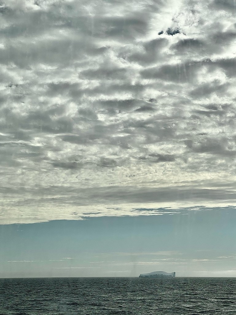
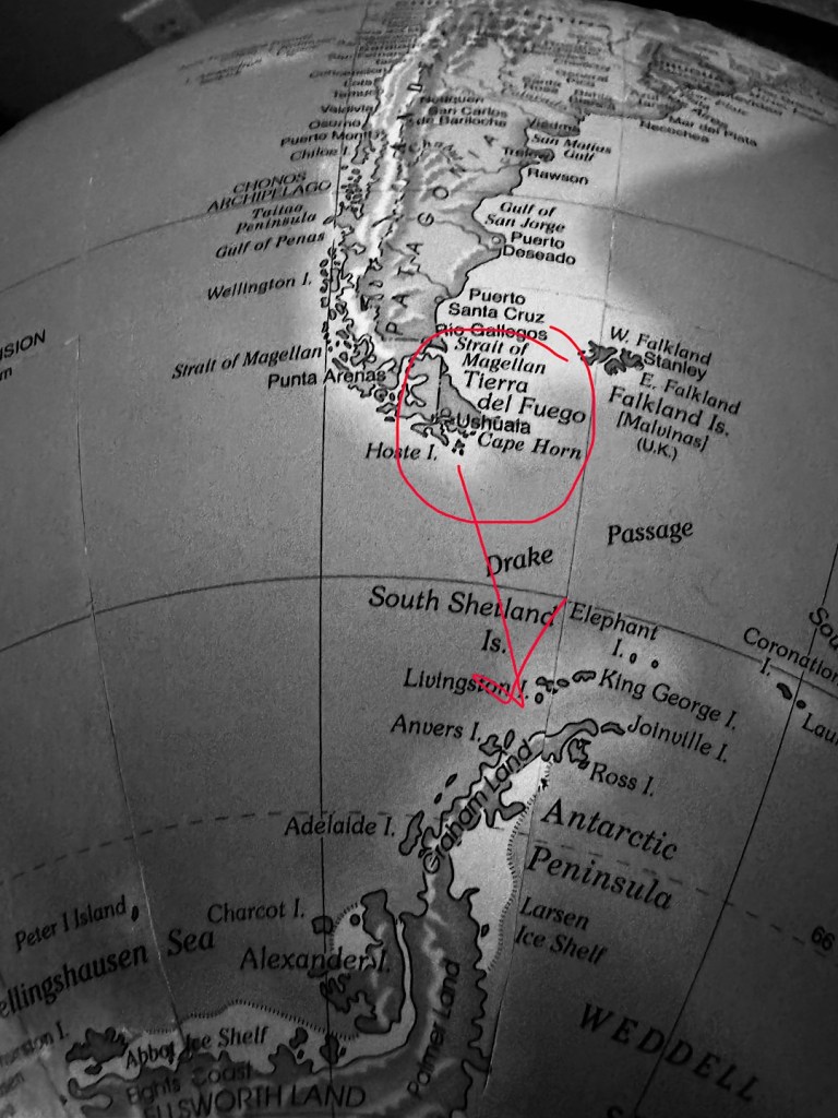
After we sailed away from our final Falkland Island, two and a half days passed, at least a day more than our original itinerary had allotted. But Gaby had warned that the high winds and large swells would slow us; indeed she’d worried it might take even longer to plow through what turned out to be the worst sea conditions of our trip.
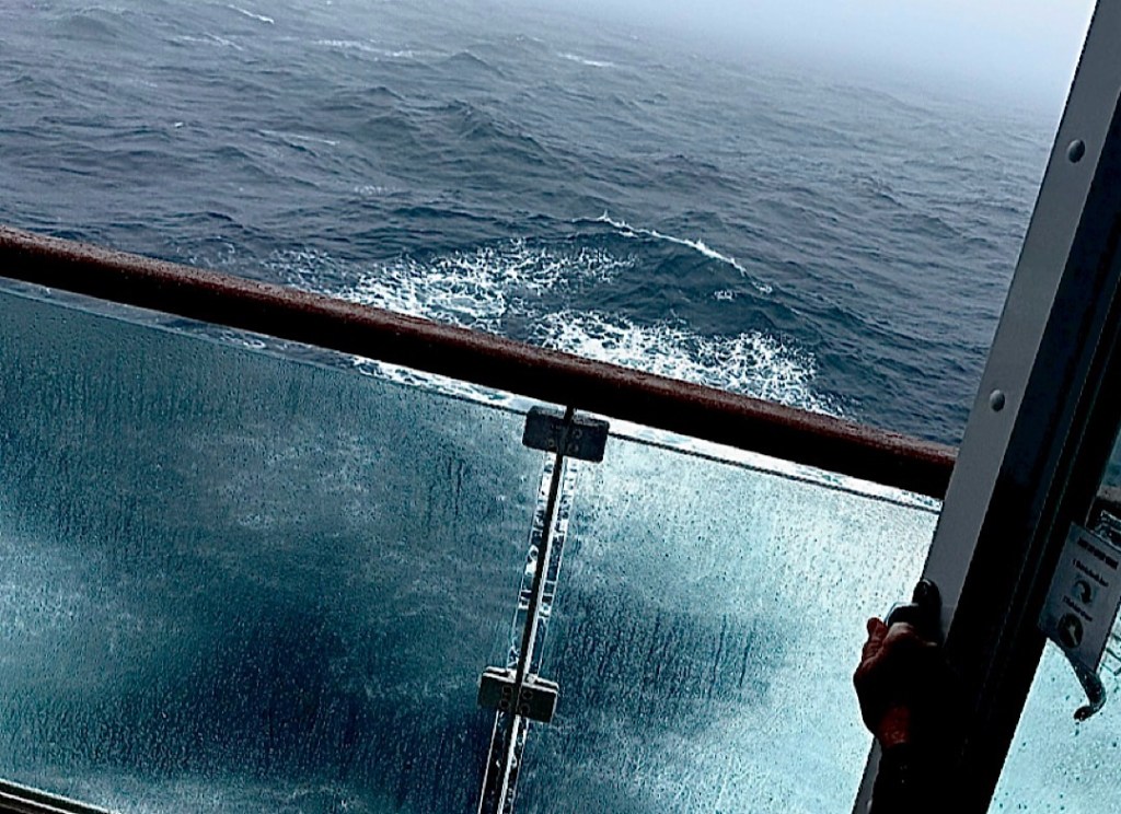
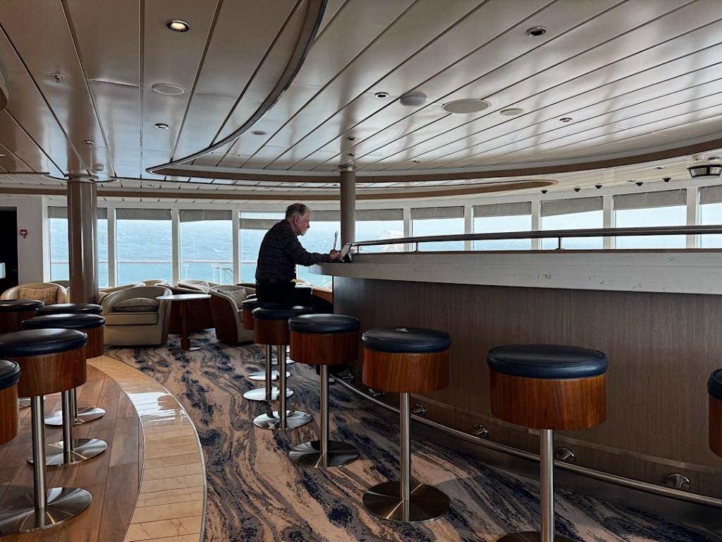
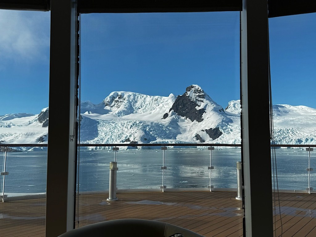
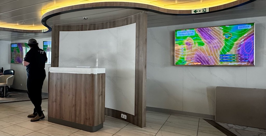
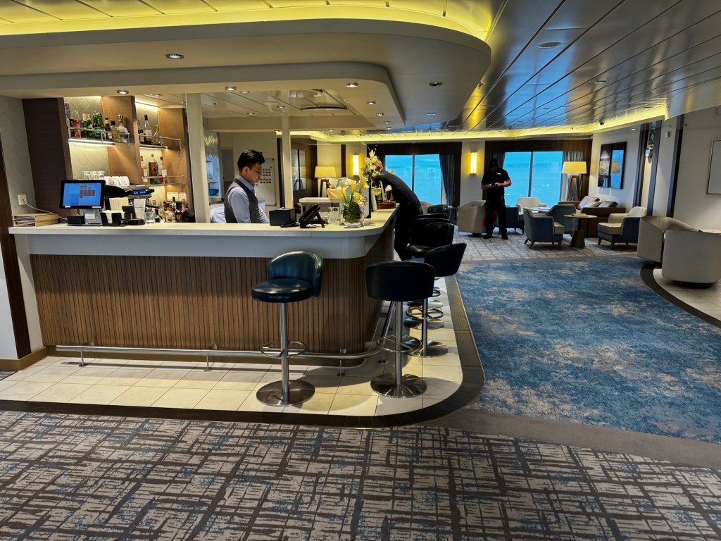
Here’s a glimpse of what it looked like in the wrap-around lounge on the 8th deck.
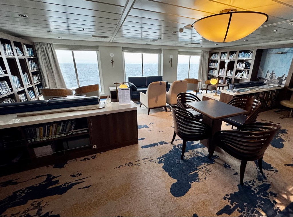
If I had panned the whole room, you would have seen that Steve and I were the only occupants. The motion was worst up there, but I was happy to discover it didn’t bother me (or Steve), even though neither of us was wearing patches or taking any anti-nausea medication. (A number of other folks were suffering down in their cabins.)
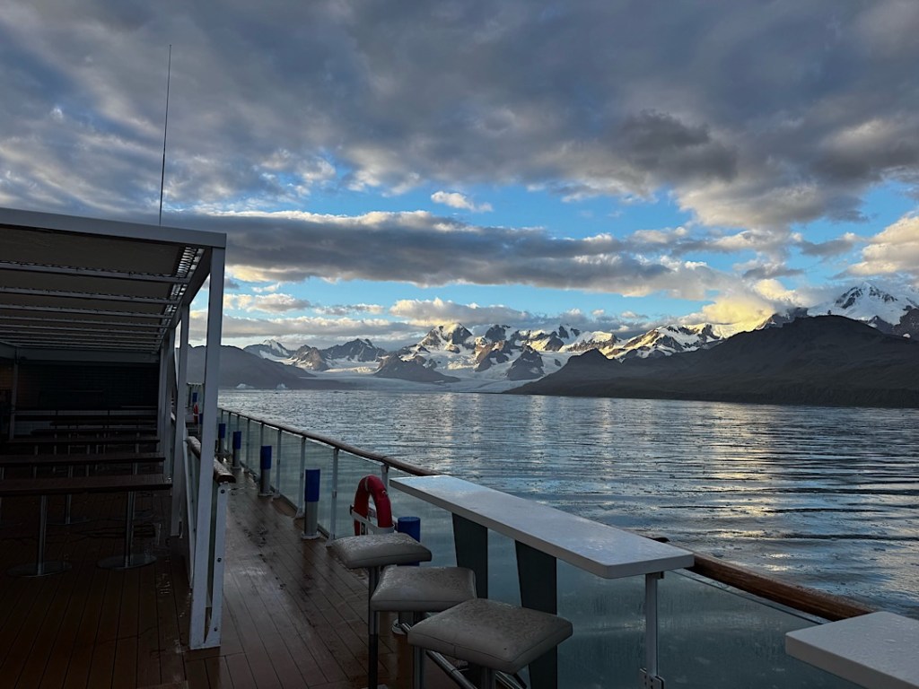
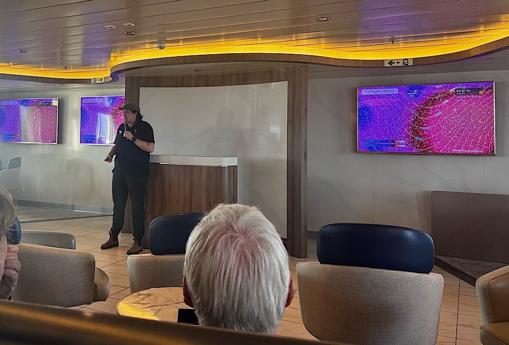
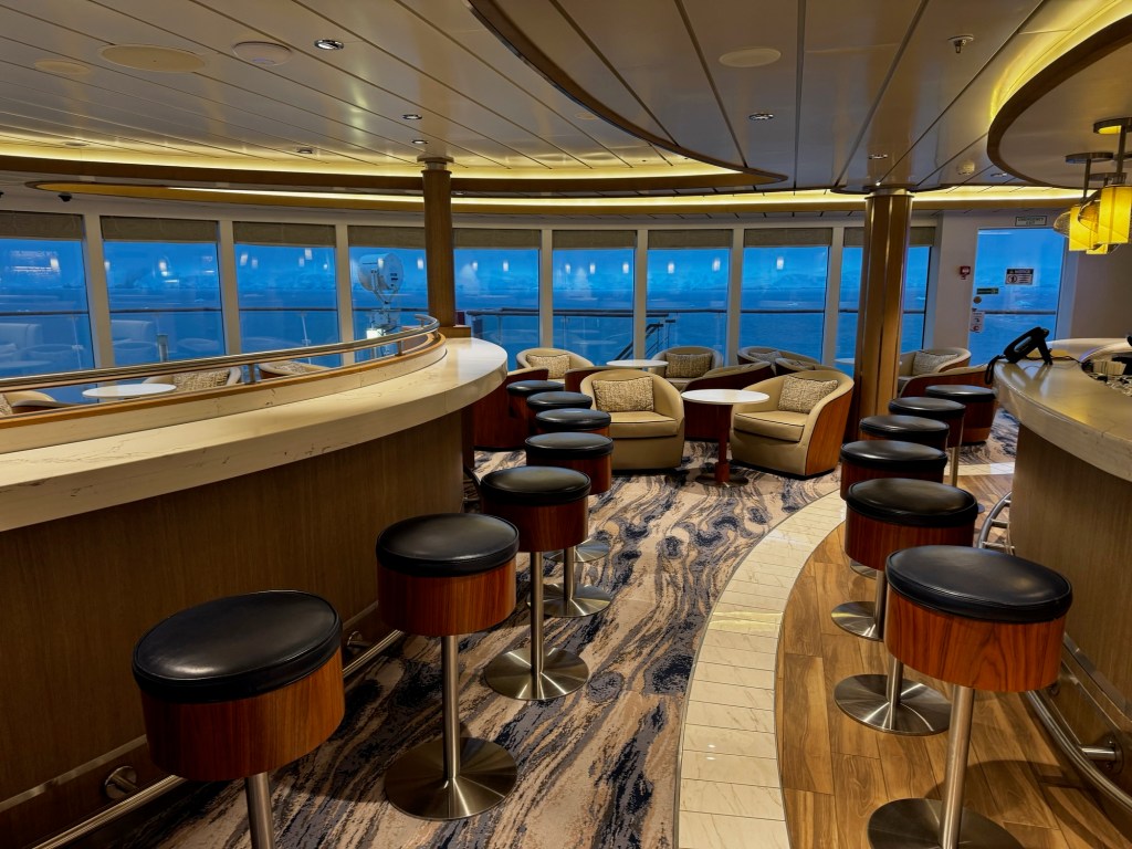
Here’s another view from closer to the water. (Ignore the background commentary, a presentation about photography.)
Another thing I learned during the trip was that high seas and fierce wind in the Southern Ocean usually aren’t accompanied by stormy skies. It did grow dark, briefly, on our passage between Antarctica and South Georgia, and a lightning bolt turned the world white. This astounded the crew, we learned later that day. Not one person on the expedition team had ever seen lightning in these waters before.
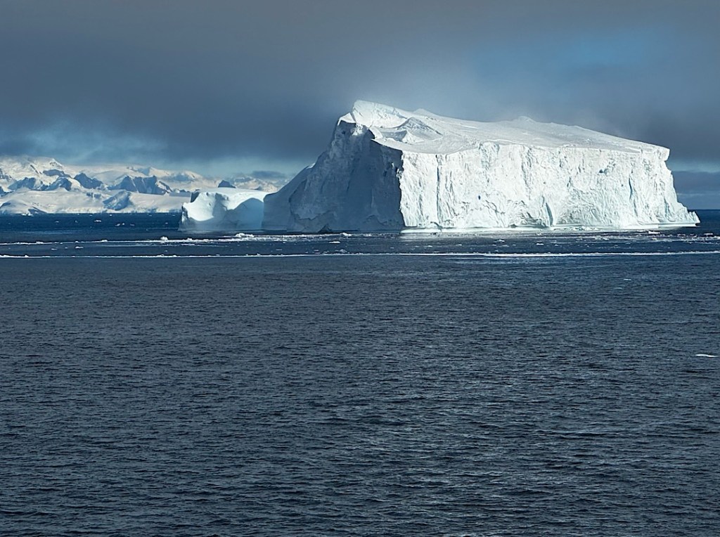
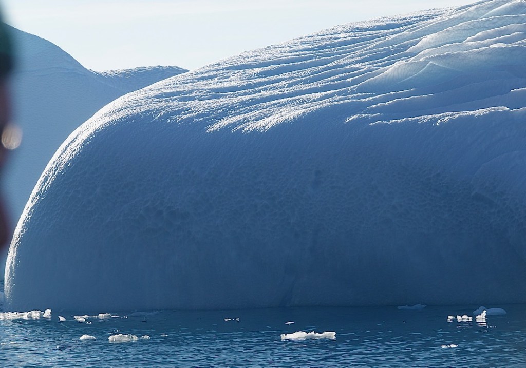
A third thing I learned was how mild the Southern Ocean was for us, compared to what it can be. Before the trip I’d read descriptions of its monstrous incarnations, but what made that real was the movie the crew screened on the night before we got to Ushuaia. Filmed in 1929 by a crazy American adventurer serving on the largest sailing ship in the world at that time (the Peking), it included footage of the wild tempest that battered the four-masted bark as it rounded Cape Horn: enormous waves that swept across the decks, insane winds. With today’s meteorological tools, captains can see such conditions building, and cruise ships do their best to avoid them.
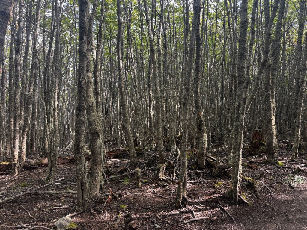
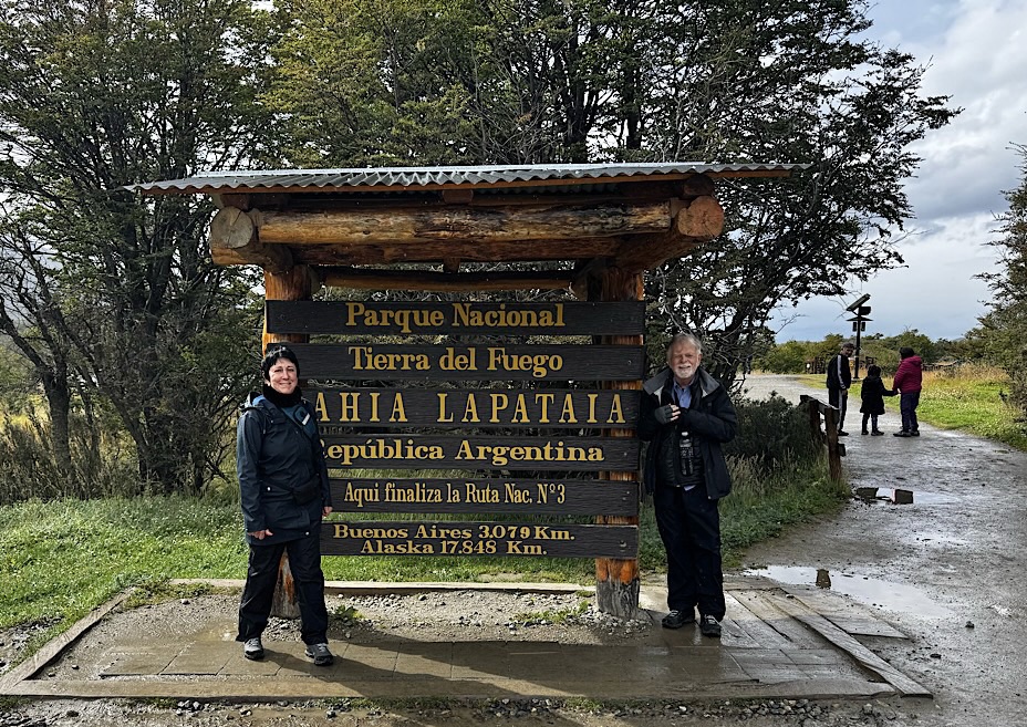
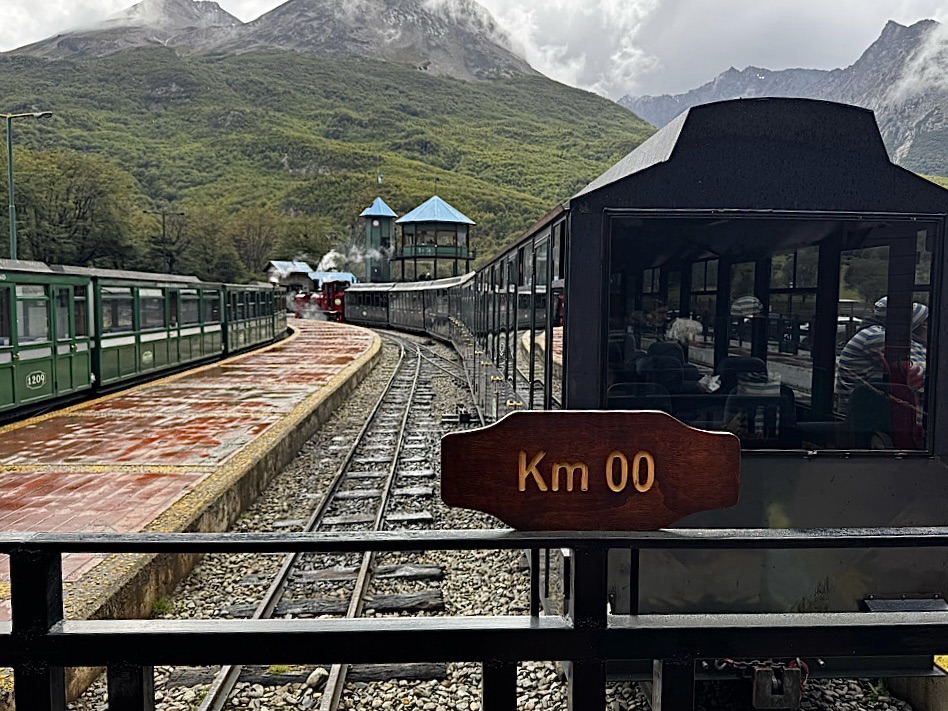
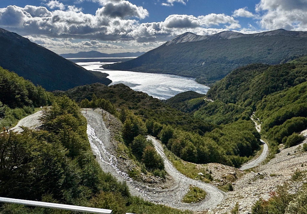
When we finally arrived back in port, Gaby outlined the plan for the two extra days before the passengers were supposed to disembark: a bus trip to the local national park on Wednesday afternoon and a full-day excursion into the Patagonian countryside for Thursday. But Steve and I had already done the former, and we were fretting that if the storms moved into the city, flights in the coming days might get all screwed up. (You hear lots of stories to that effect in Ushuaia.)
We didn’t want to risk missing our plane home on Saturday. We’d bought changeable tickets from and to BA, so I got on the phone and managed to change our Friday afternoon flight to Wednesday at 2:45 pm, and to add two nights to our hotel in Buenos Aires. Amazingly, we got packed and checked out, the plane pushed away from the gate right on time, and we arrived at the city airport 10 minutes early.
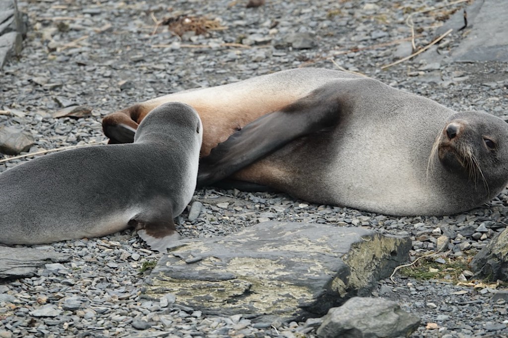
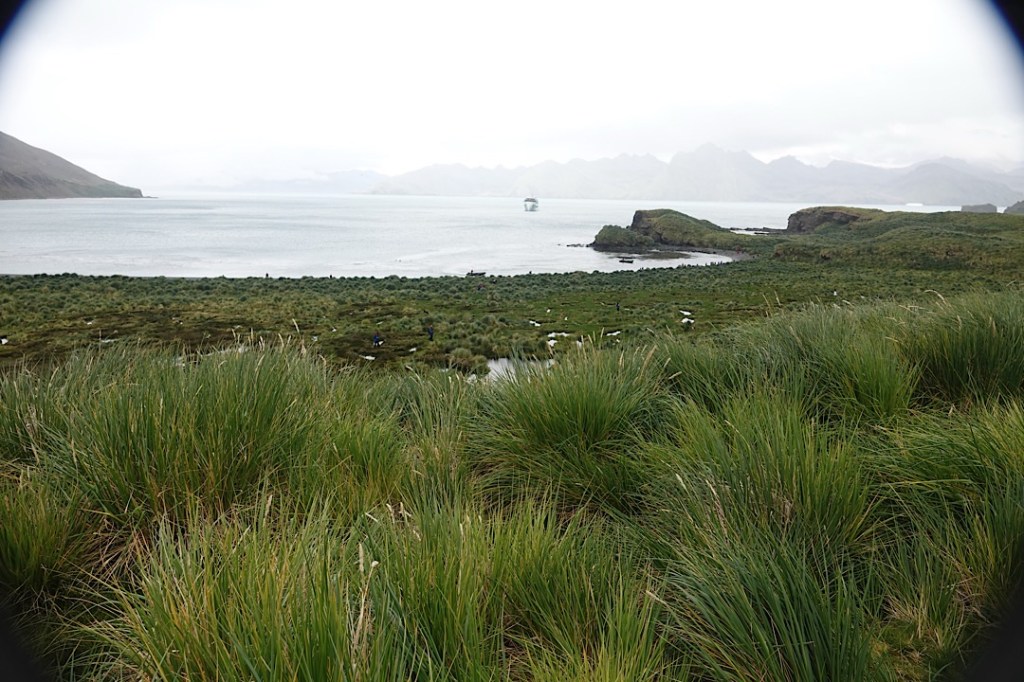
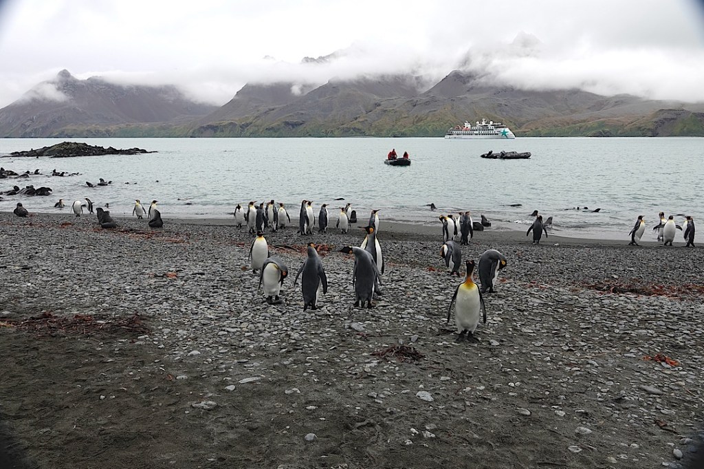
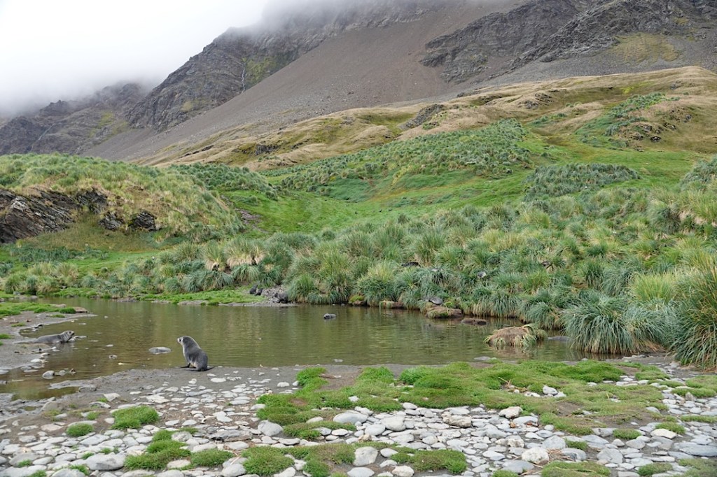
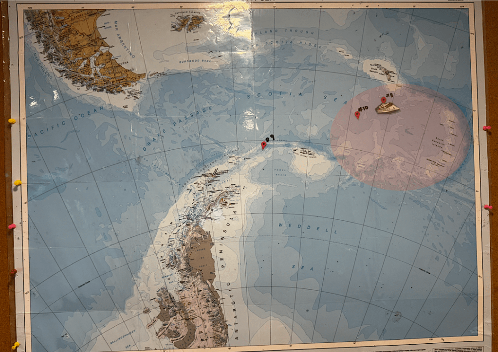
We’ve been delighted to be in the capital again. We’re sorry we didn’t get to see the South Sandwich Islands; sorry our time in Antarctica was cut short (by one day) and the days in South Georgia reduced (by two).
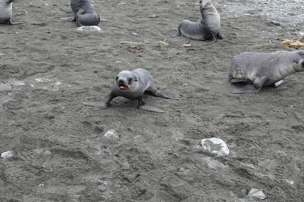
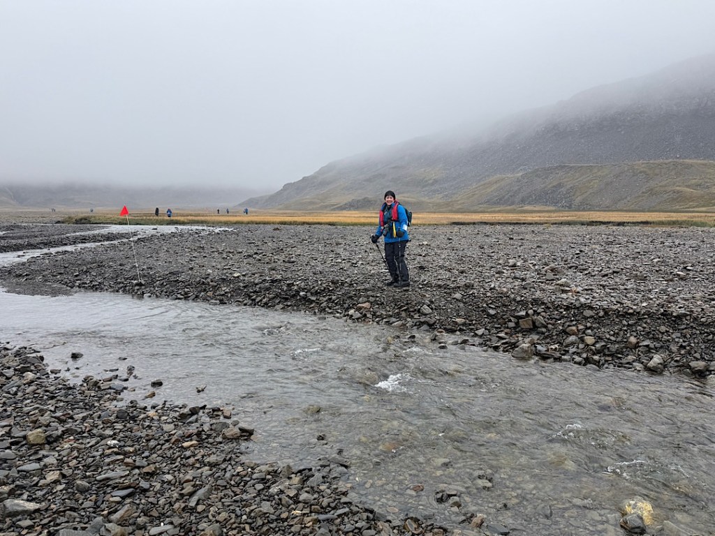
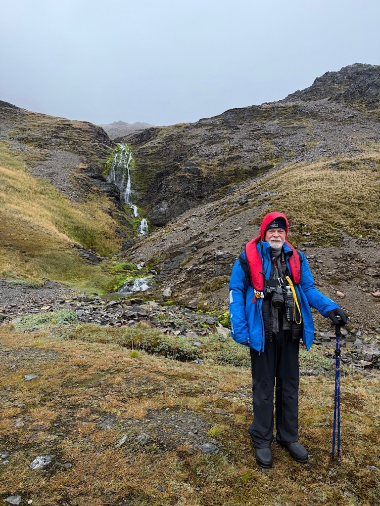
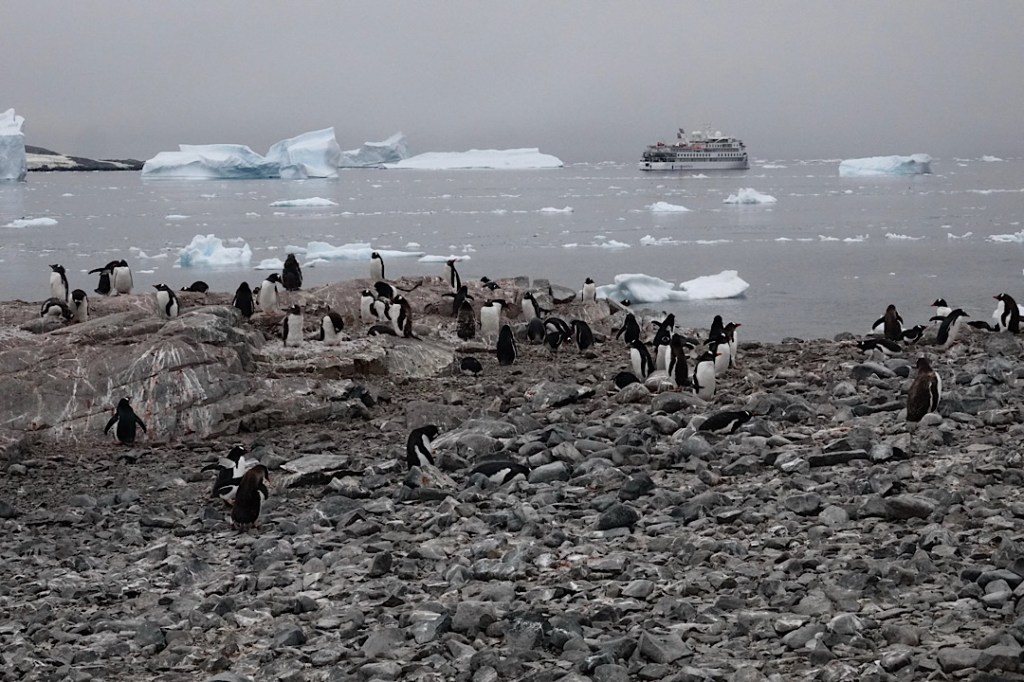
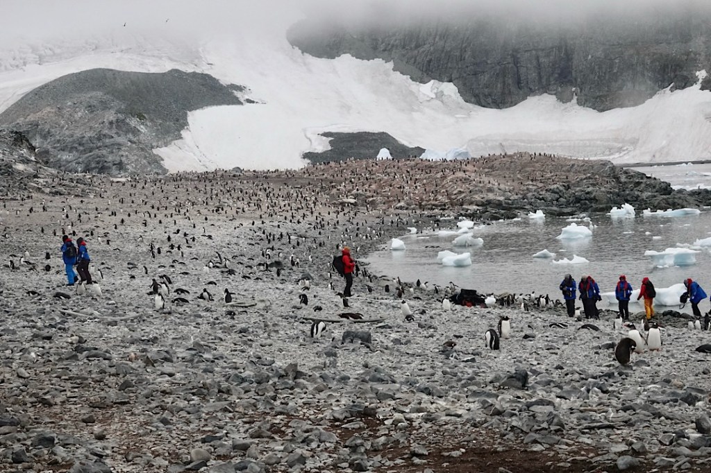
On the other hand, we wound up with more time on the various islands in the Falklands. And I had ten full days at sea, on the wildest stretch of water of them all, where among other things, you learn to keep your balance when the floor under your feet shifts unexpectedly.