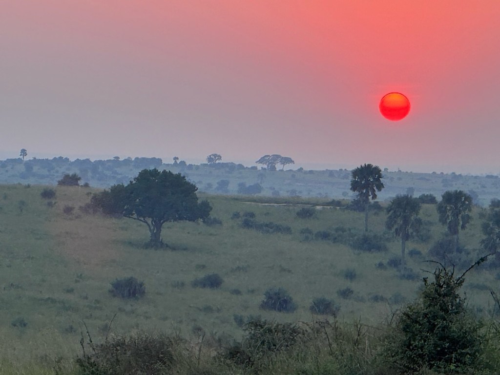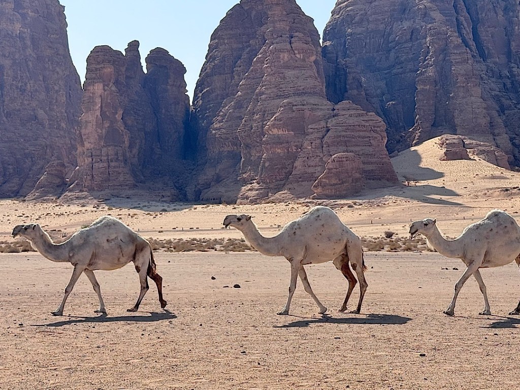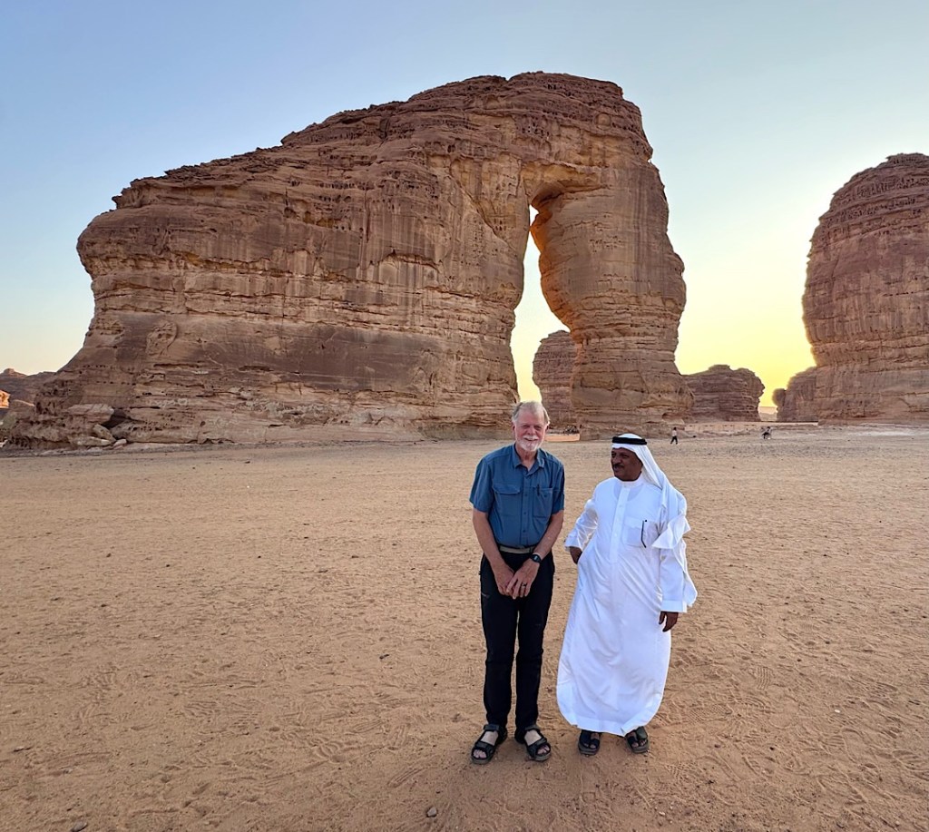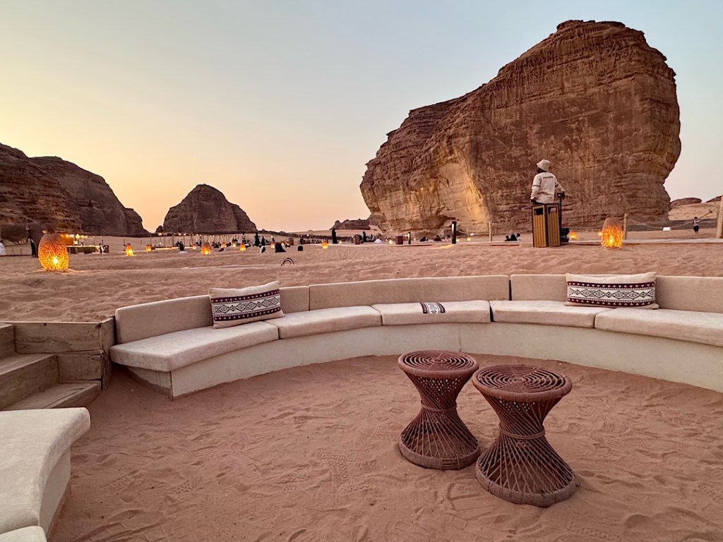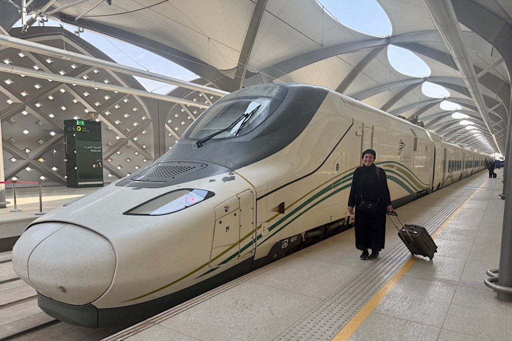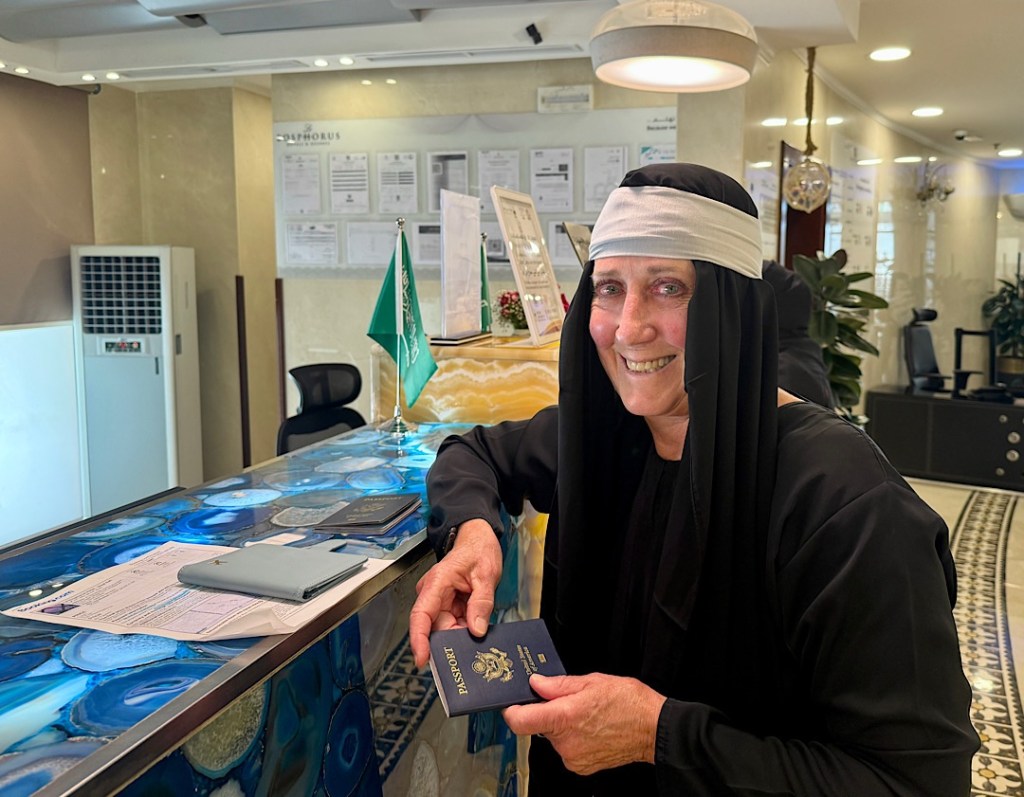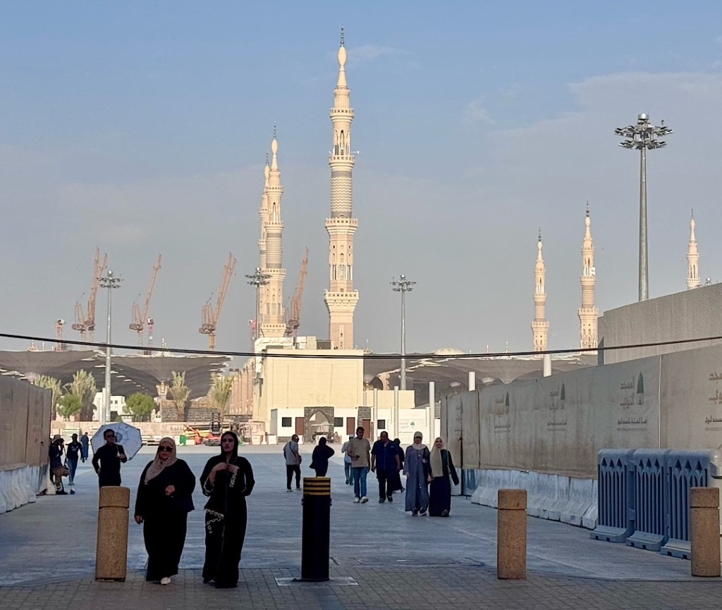
Jeannette of Arabia

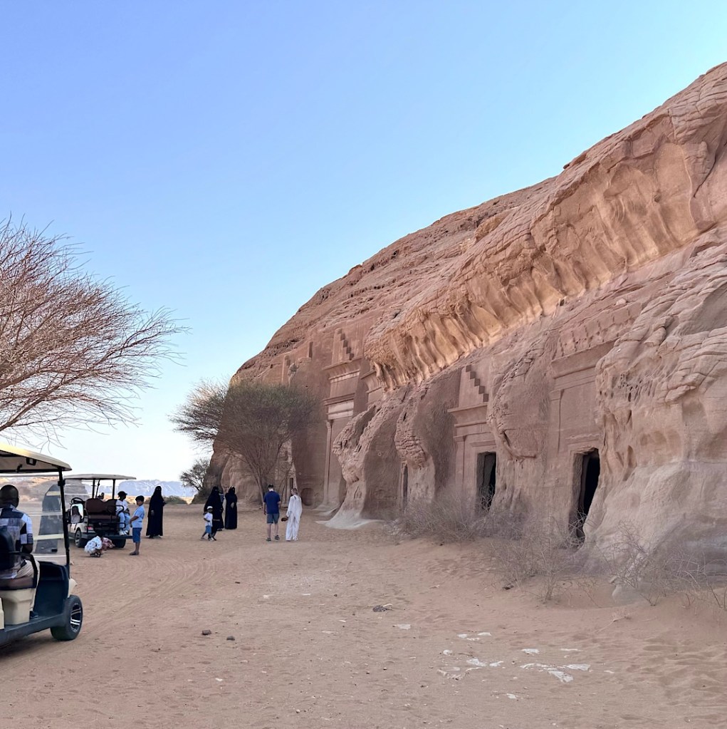
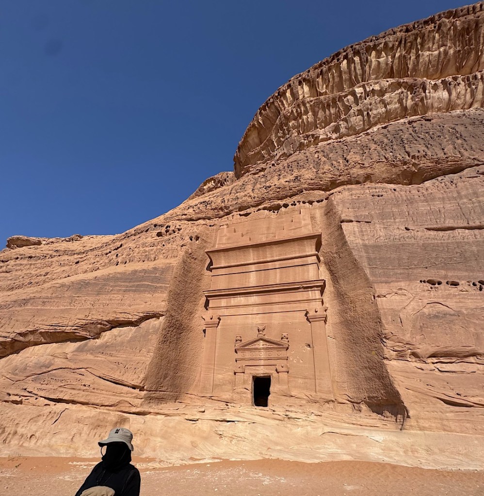
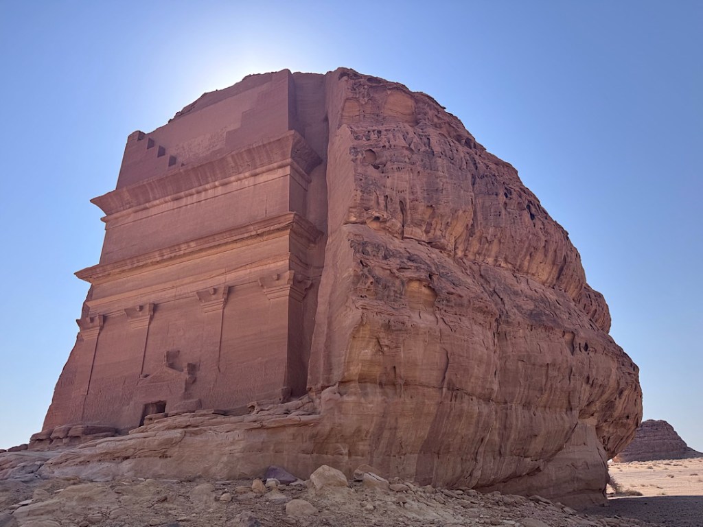
For most of my life, I assumed I would never get to Saudi Arabia. I’m not Muslim, nor have I ever worked in the oil industry. I am an avid traveler, but the Saudi government never permitted any tourism. Things changed with the rise to power of Crown Prince Mohammed bin Salman (aka MBS).

It’s MBS who has pushed the kingdom’s recent liberalization, allowing Saudi women at last to drive (as of 2018). It’s he who envisions Saudi Arabia developing into a major tourist magnet, generating revenues that could supplement the oil revenue when that resource inevitably dwindles.

The government began granting the first tourist visas in 2019, but the overture didn’t make me rush online to book my Air Saudia tickets. For one thing, Covid was about to shut everything down. Other destinations in the Middle East also seemed more interesting. In the years that Steve and I have worked as volunteer liaisons between Women’s Empowerment International in San Diego and the Nyaka organization in Uganda, we’ve made several trips to visit our Ugandan partners. To break up the long journey to central Africa, we’ve stopped and spent some days in Dubai and Abu Dhabi, Oman and Qatar. Now, before we head south to embark on our Madagascar adventure, we’ll be visiting Uganda once again. This time a stopover in Saudi Arabia finally beckoned.

And why not spend at least one week of our lives with one of the three biggest dogs in the region? Steve and I have already traveled in Israel. Sadly, we missed the chance to visit Iran during that brief window a few years ago when it was safe and practical for Americans to go there. That leaves Saudi Arabia, a wellspring for so many creations — astronomical, mathematical, architectural, literary, religious — that have shaped modern human civilization.

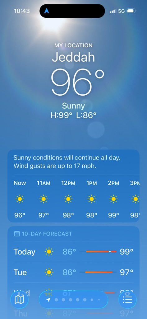
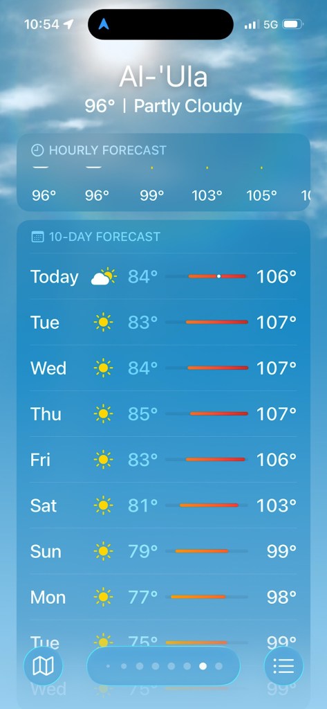
I did think of a few arguments against going. For one thing, the relentless August heat, around 100 degrees for most of every day, might be overwhelming.

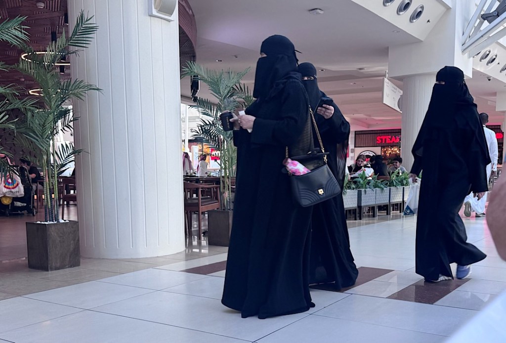
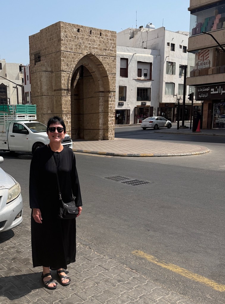
In that oven, I also would be wearing strange garb. I wouldn’t be expected to cover my face. Saudi law no longer forces women to do that anywhere in the kingdom. But informed sources advise that wearing an abaya (the long Saudi woman’s robe) is considered a sign of respect. Nowadays, abayas don’t even have to be black; ladies can venture out in public in other colors.

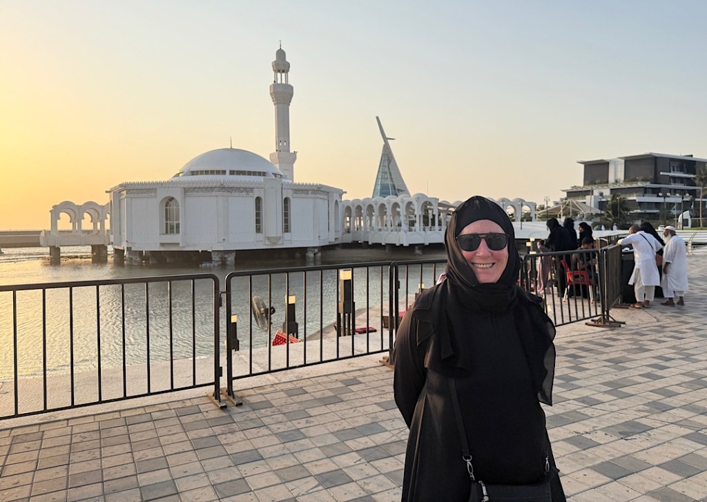
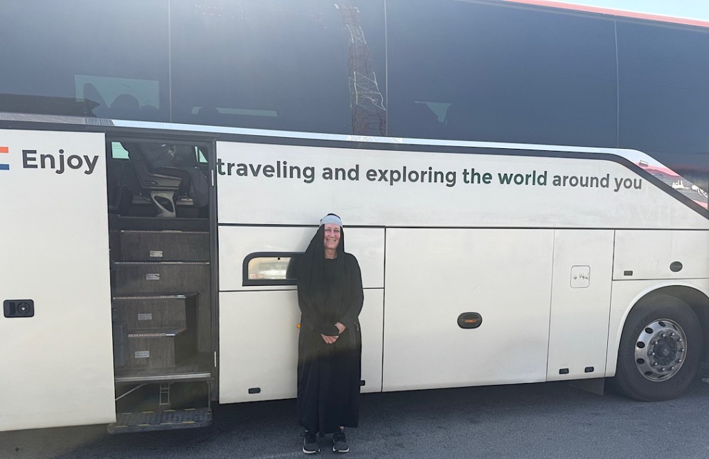
I just happened, however, to have a simple black abaya that I picked up in Oman in 2017. For this trip, I resolved, my abaya would rise above its status as a mere costume. I would see if I could wear it exclusively every day for a week. In my next post, I’ll report on how my abaya and I fared.

The strangest plane ride of my life

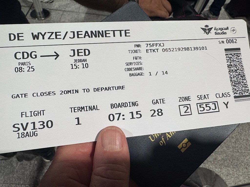
To start this trip, we flew Delta from San Diego to Salt Lake City, changed planes and continued on to Paris, then slept in a hotel at Charles De Gaulle airport. The next morning Air Saudia transported us to Jeddah.

In many ways, the Arabian flight felt very normal, actually better than normal. Our Economy seats in Row 55 of the Boeing 787 gave us a surprising amount of leg room, and no one showed up to fill the middle seat between Steve and me. We pushed back on time, and the crew seemed to include more than twice the number of attendants we’d had on our Delta rides, so we got served quickly. The breakfast was fresher and tastier than Delta’s.

The exotic bits began as we were taxiing to the runway. The safety instructions, played on our seatback screens first in Arabic then in English, were the usual spiel about life vests and oxygen masks and smoking prohibitions. Then just before we started our roll, a voice announced the favorite prayer of the Prophet Muhammed whenever he was starting a journey. As a deep bass speaker intoned them, the words in Arabic and English rolled down our screens — nothing that any Lutheran minister might not say. I assume a ton of people silently voice a prayer right before takeoff, but this was the first time an airline provided one for me over the loudspeaker.
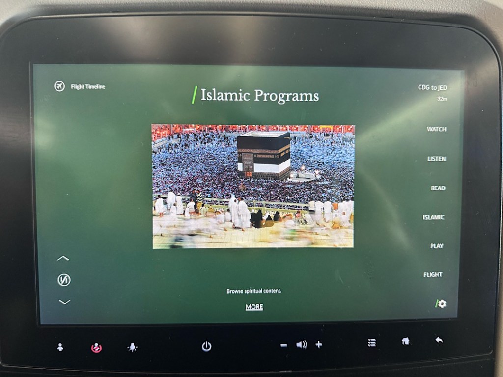
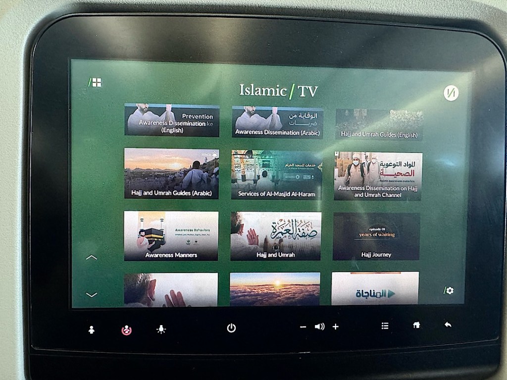
Our screens had an Entertainment option, but if you wanted to watch a mainstream movie, the only choices were The Devil Wears Prada 2, Lee Cronin’s The Mummy, Lurker, or The Super Mario Galaxy Movie. On the other hand, you could view many short instructional Islamic videos explaining aspects of the Hajj and Umrah.

The Hajj is the big multi-day pilgrimage during a certain period that changes every year. It draws millions of Muslim devotees from all over the world. Umrah, I learned, is Hajj Lite — a shorter, cheaper, less arduous visit to the holy land that pilgrims can make year-round. It was obvious our flight was filled with Umrah pilgrims. Many ladies wore little purple capes emblazoned with the name of their Umrah travel agency. The men’s intentions only became obvious after we’d crossed the miqat line.
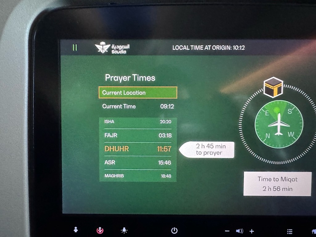
What’s miqat? I certainly wondered when I noticed that word on my screen. It began appearing periodically, interspersed with more mundane information about our altitude, time to destination, and so forth.

On the left were the prayer times for the day, with the one coming up next highlighted. And on the right, the mysterious “Time to Miqat”.

As soon as I got access to the internet, I learned that miqat is a geographic boundary surrounding the Hajj and Umrah pilgrimage zone, including not just Mecca but also Jeddah and Medina. Muslim pilgrims aren’t supposed to cross that border without first entering a sacred spiritual state known as ihram. Basically, they have to shift into high purification gear — saying certain prayers and declarations; abstaining from swearing, arguing, hunting, sex, cutting their nails or hair; and so on. After our plane had crossed the line, many of our fellow male passengers were wearing white towels secured to their bodies with simple tucks and rolls; no buttons or zippers or other modern contrivances such as safety pins are allowed. I’m not sure whether the guys effected this costume change by slipping off their outer robes in their seats or changing in the lavatories.

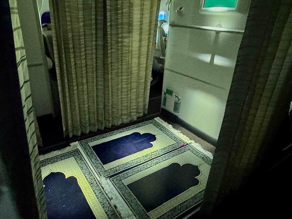
When I headed for one of those, I was startled by another first: a small open area adjoining the bathrooms that was lined with prayer mats.

I briefly glimpsed one man on a mat, forehead to the ground, but I didn’t lurk to find out what happened at the actual mid-day worship hour.

By then I was immersed in my own little ihram — preparing mentally for more extraordinary sights in this kingdom that until so recently was forbidden to infidels like me.

To the antipode — and beyond!

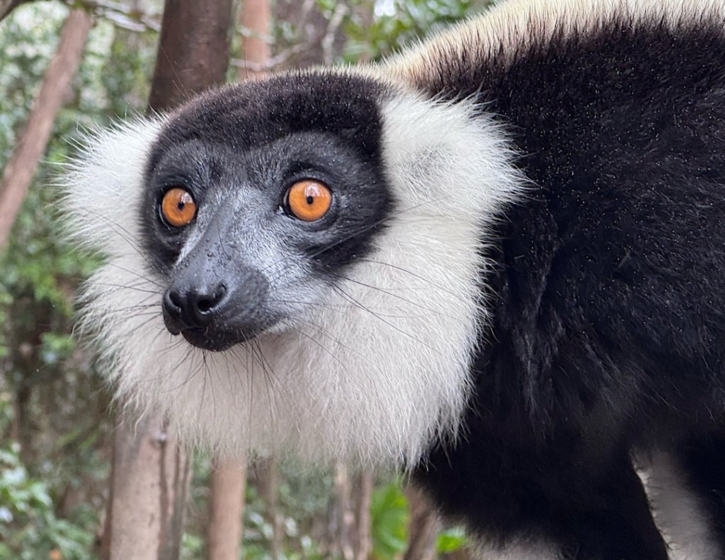
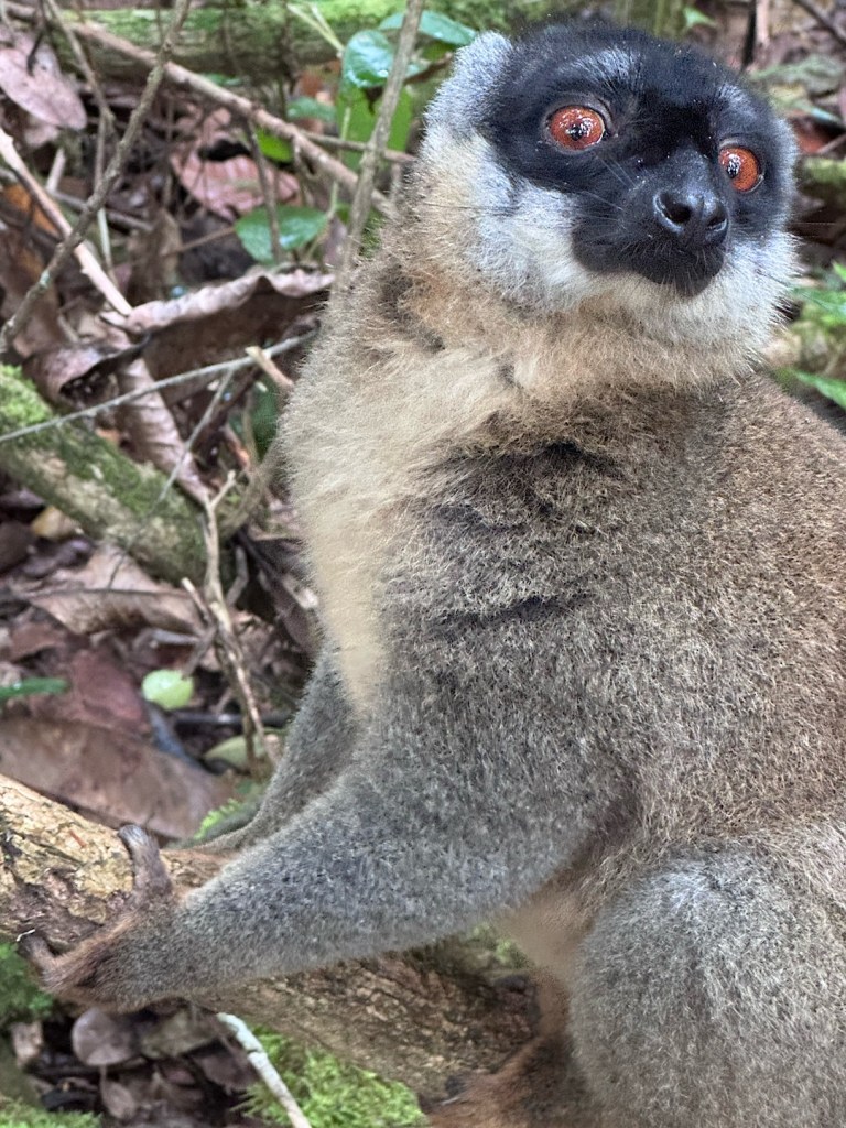
A black-and-white ruffed lemur

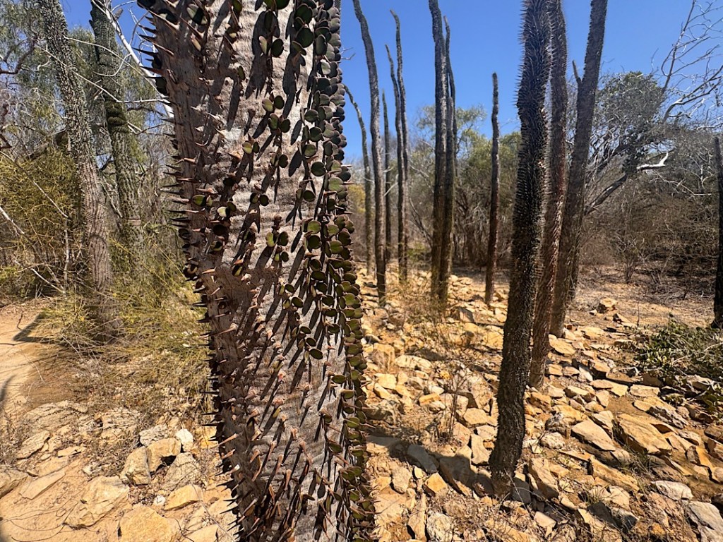
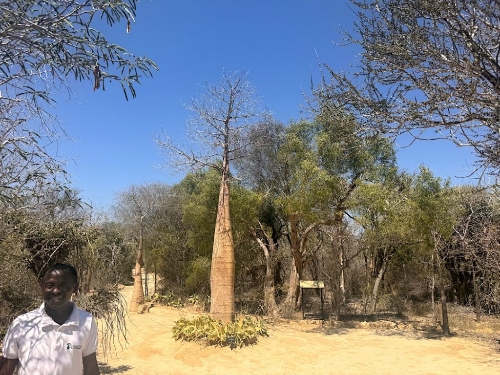
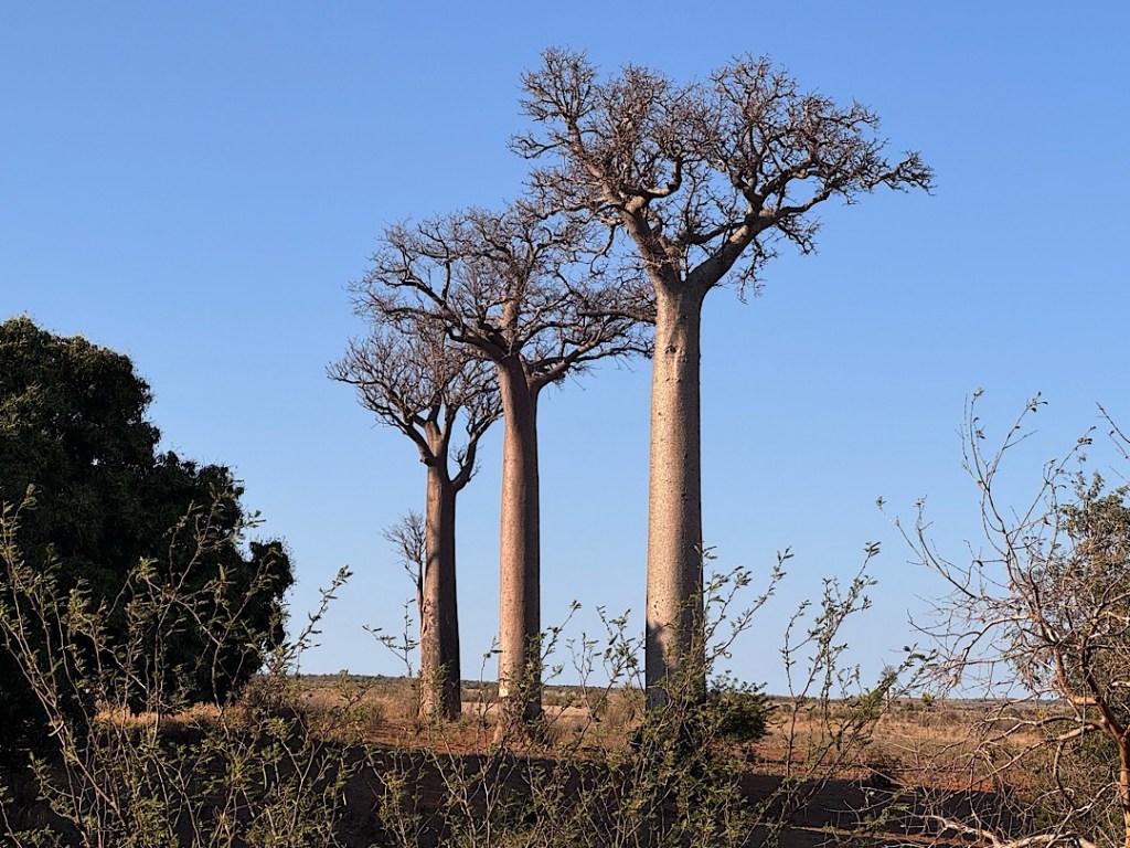
If I could drill down from my house in San Diego through the center of the earth, penetrating to the other side of the planet, the drill bit would emerge in water — specifically, the Southern Indian Ocean. That point, my home’s antipode (to use the geographer’s term for the diametrically opposite point of any place on the globe), is closest to the tiny islands of Reunion and Mauritius. I will almost certainly never venture to either of them. But in just a few weeks, Steve and I should land in Antantanarivo, the capital of Madagascar, whose eastern coastline lies less than 500 miles from Reunion.

Madagascar is considered to be part of Africa. But some say it should rank as the Earth’s 8th continent. It split off from the African mainland about 160 million years ago. Since then its geological development has been distinctive, and most of the plant and animal life that has evolved doesn’t exist anywhere else.

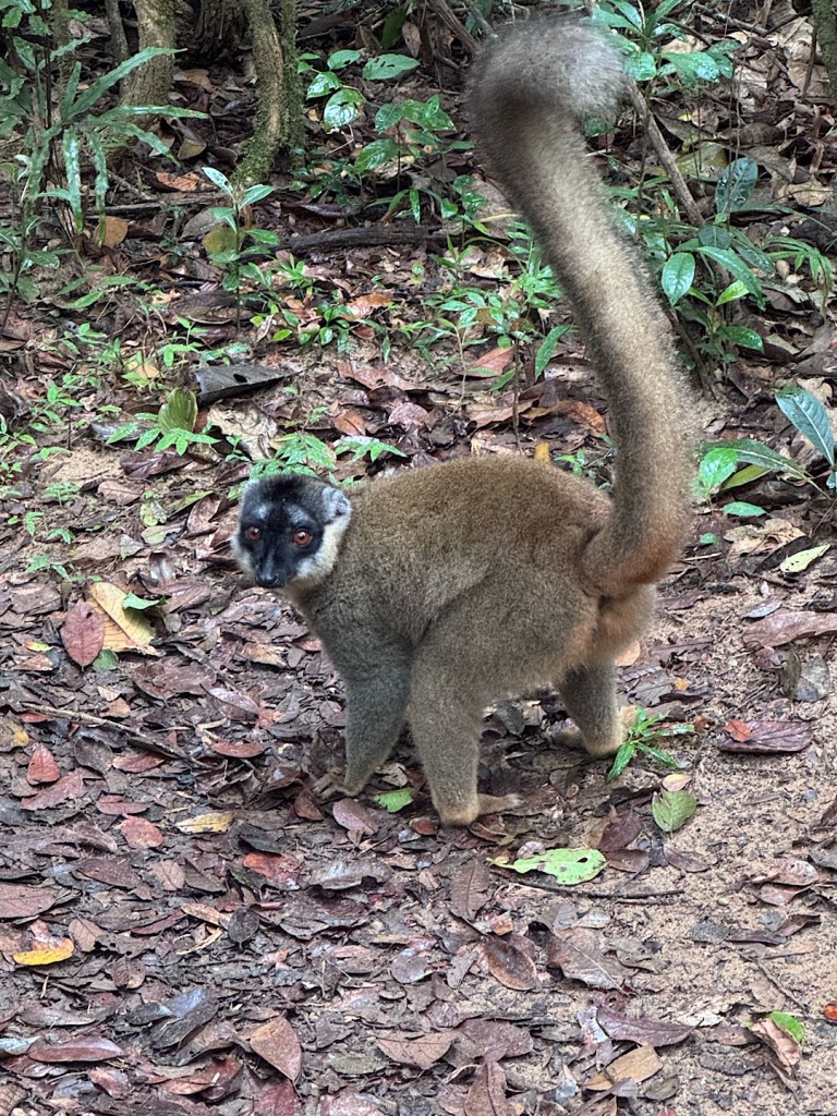
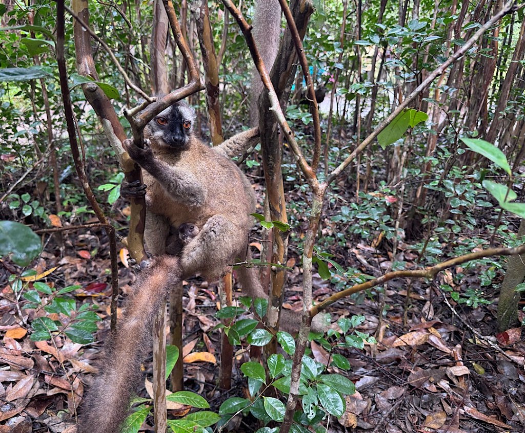
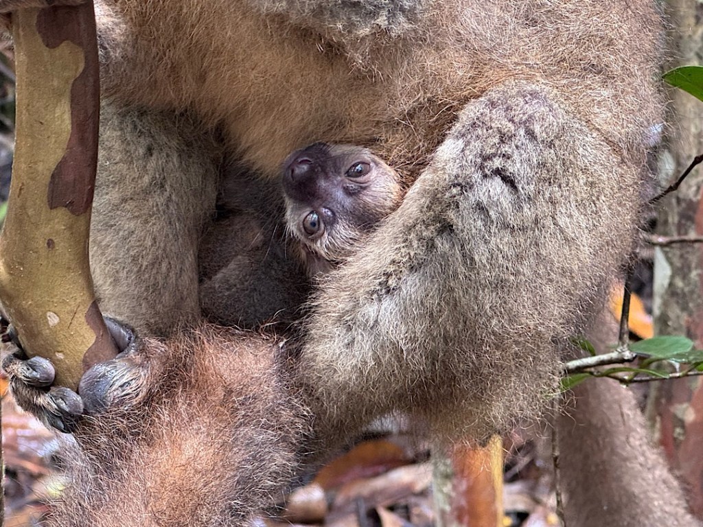
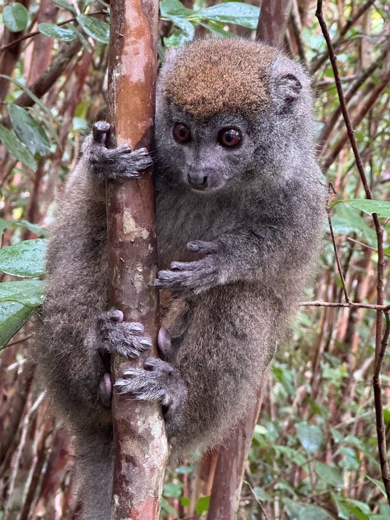
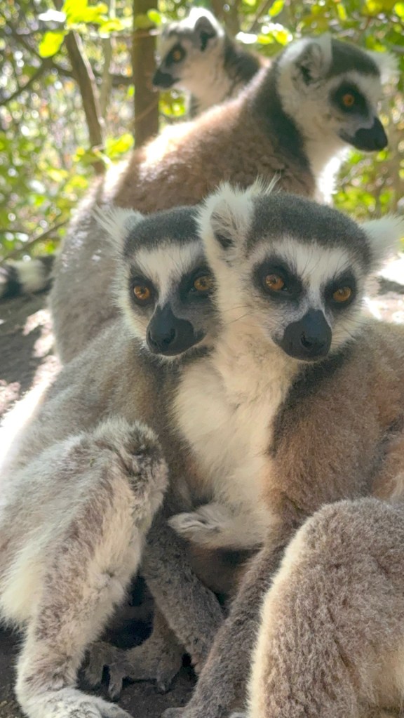
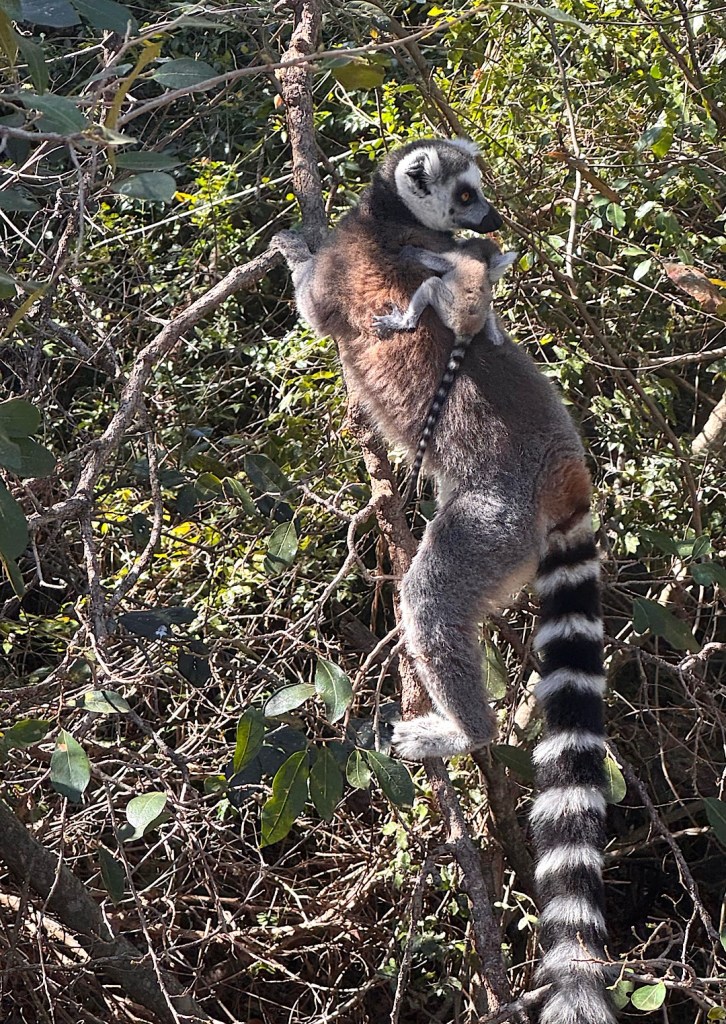
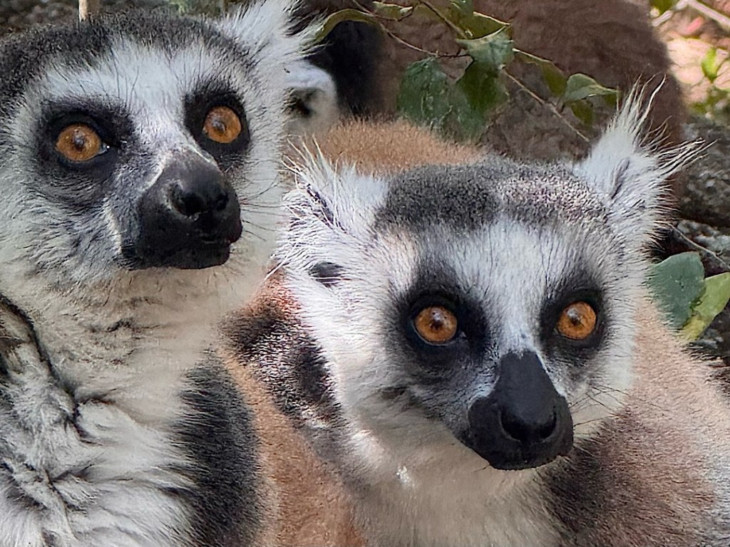
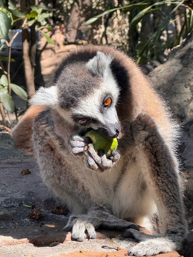
Lemurs are the superstars. More than 100 different species live on the island, almost all of them threatened with extinction.

I’m sure we’ll see lots of lemurs, but they’re not the only thing drawing us to our antipode. The island’s other flora and fauna will be fascinating. The human history is relatively brief but often wildly exotic and exorbitantly bloody. And I have to admit: we’ve come to appreciate various ends of the earth. What will the vibe be like in this one?

We’ll be taking a long, winding road to Madagascar, leaving Sunday morning and journeying through Paris, Saudi Arabia, Ethiopia, Uganda, Rwanda, and Johannesburg. I’ll report on the details, as I can, along the way.

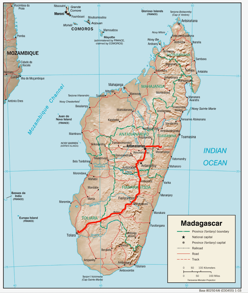
We won’t cover the whole island. It’s way too big, the fourth biggest in the world (three times the size of Great Britain.) But we’ll be driven through a big swathe of it (very roughly along that red line.)

Farewell to the high seas

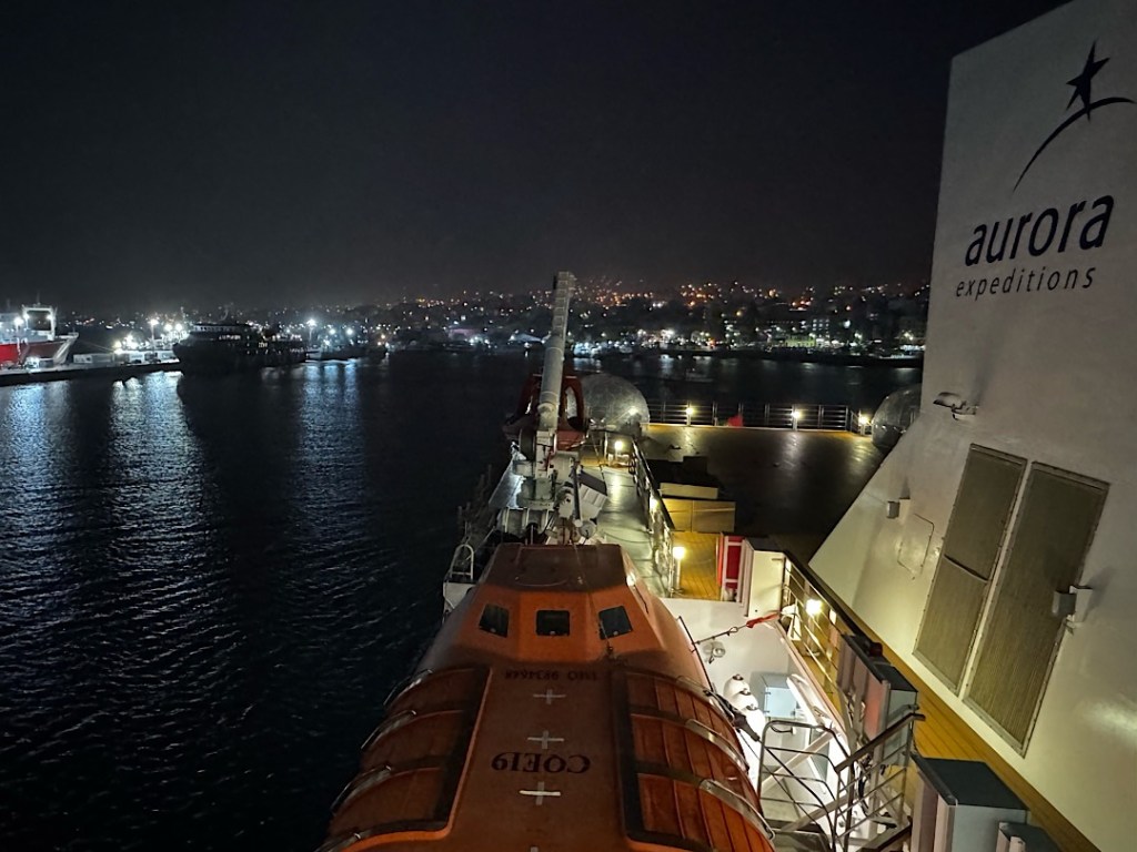
We tied up at the dock in Ushuaia around 7:00 Wednesday morning (3/25). Snowflakes swirled against a black sky. When the world began to lighten a half hour later, I was startled to see many of the mountains encircling the city covered in white. In the three weeks we’d been gone, we’d passed the vernal equinox on the calendar, but it felt a lot more like winter had arrived back in port.

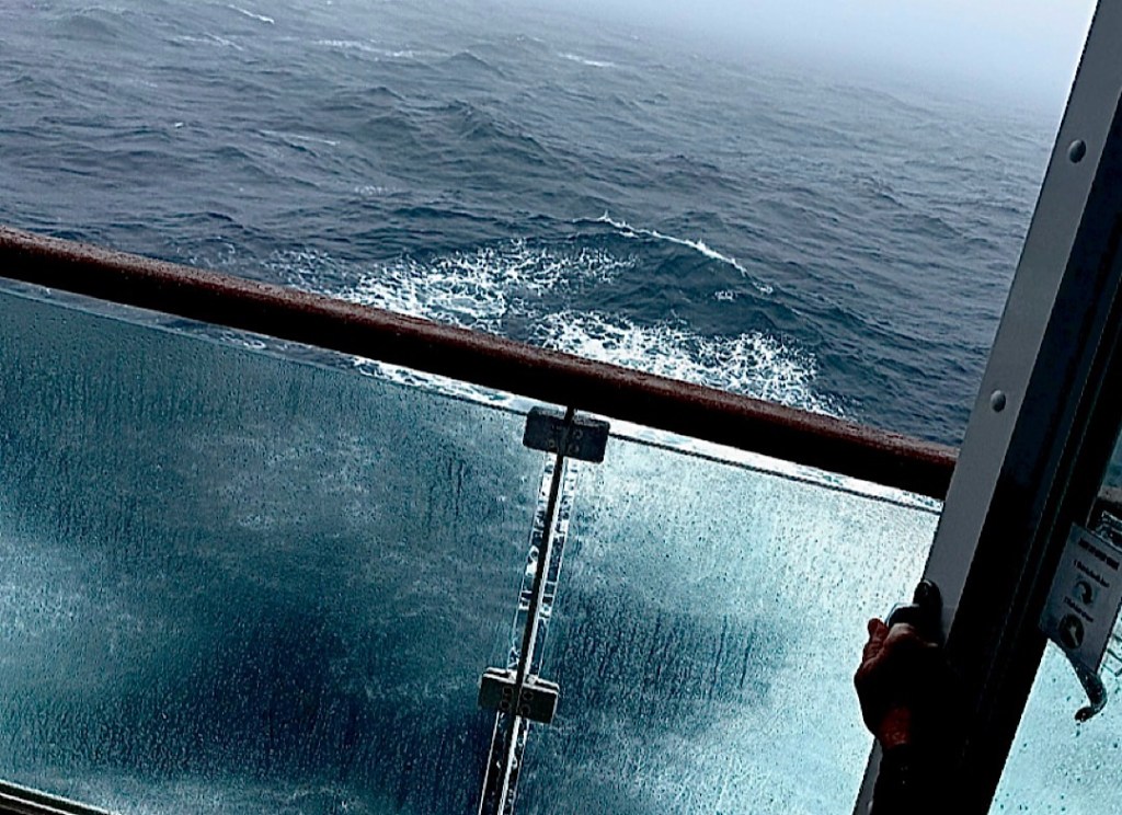
After we sailed away from our final Falkland Island, two and a half days passed, at least a day more than our original itinerary had allotted. But Gaby had warned that the high winds and large swells would slow us; indeed she’d worried it might take even longer to plow through what turned out to be the worst sea conditions of our trip.

Here’s a glimpse of what it looked like in the wrap-around lounge on the 8th deck.

If I had panned the whole room, you would have seen that Steve and I were the only occupants. The motion was worst up there, but I was happy to discover it didn’t bother me (or Steve), even though neither of us was wearing patches or taking any anti-nausea medication. (A number of other folks were suffering down in their cabins.)

Here’s another view from closer to the water. (Ignore the background commentary, a presentation about photography.)

Another thing I learned during the trip was that high seas and fierce wind in the Southern Ocean usually aren’t accompanied by stormy skies. It did grow dark, briefly, on our passage between Antarctica and South Georgia, and a lightning bolt turned the world white. This astounded the crew, we learned later that day. Not one person on the expedition team had ever seen lightning in these waters before.

A third thing I learned was how mild the Southern Ocean was for us, compared to what it can be. Before the trip I’d read descriptions of its monstrous incarnations, but what made that real was the movie the crew screened on the night before we got to Ushuaia. Filmed in 1929 by a crazy American adventurer serving on the largest sailing ship in the world at that time (the Peking), it included footage of the wild tempest that battered the four-masted bark as it rounded Cape Horn: enormous waves that swept across the decks, insane winds. With today’s meteorological tools, captains can see such conditions building, and cruise ships do their best to avoid them.

When we finally arrived back in port, Gaby outlined the plan for the two extra days before the passengers were supposed to disembark: a bus trip to the local national park on Wednesday afternoon and a full-day excursion into the Patagonian countryside for Thursday. But Steve and I had already done the former, and we were fretting that if the storms moved into the city, flights in the coming days might get all screwed up. (You hear lots of stories to that effect in Ushuaia.)

We didn’t want to risk missing our plane home on Saturday. We’d bought changeable tickets from and to BA, so I got on the phone and managed to change our Friday afternoon flight to Wednesday at 2:45 pm, and to add two nights to our hotel in Buenos Aires. Amazingly, we got packed and checked out, the plane pushed away from the gate right on time, and we arrived at the city airport 10 minutes early.

We’ve been delighted to be in the capital again. We’re sorry we didn’t get to see the South Sandwich Islands; sorry our time in Antarctica was cut short (by one day) and the days in South Georgia reduced (by two).

On the other hand, we wound up with more time on the various islands in the Falklands. And I had ten full days at sea, on the wildest stretch of water of them all, where among other things, you learn to keep your balance when the floor under your feet shifts unexpectedly.

Ups and downs in the Falklands

I haven’t written about it, but lectures filled many hours of our time on the Greg Mortimer. We attended talks about the geology of South Georgia, the history of whaling, photography, the Falklands War, the carbon-sequestering capacity of peat bogs and kelp beds, a field biologist’s guide to animal research, and more. For the most part, they were good, if a bit nerdy. I probably won’t remember much, but it helped to pass all the days at sea.

More unforgettable were the sights, however, and the Falkland Islands were no exception. We spent four days prowling among little-visited outposts and got a mix of disappointments and sunny marvels.

Shortly after sunset a week ago (March 19) we pulled out of Stanley’s harbor with high expectations. Gaby, our expedition leader, had explained that our first stop would be an island called Steeple Jason at the far northwestern edge of the archipelago. She sounded so happy, it was infectious. With luck, she’d explained, we’d visit a colony of black-browed albatross that might contain up to 200,000 of the amazing birds.

But luck wasn’t with us. By the next morning we had reached the island, but dangerously high surf was pounding the beach where the crew had hoped to land our Zodiacs. Gaby had a backup plan: motoring to the other side of the island. This took several hours, only to confront us with more impossible wind and swell and breakers. Disappointment seeped throughout the ship as we slogged to our next target: Carcass Island. There we finally scored.

We hit the beach about 3 pm.

A 15-minute hike brought us to a white sand cove on the far side of the island. Exploring the tide pools and taking in the bird life occupied us for the next hour and a half.

Gentoo penguins toddled around the visitors.
Another prominent resident, the striated caracara — is both mischievous and rapacious.

The birds stayed on the beach, but about 20 of us then hiked the two and a half miles to the island’s only settlement.

It’s home to just one man and woman. We met some of the cows they keep but didn’t have a chance to chat with the human occupants.

Our destination for the next day was West Point Island, where azure skies and a docile sea made our landing carefree.

Again we started by hiking, this time on a path leading to a rookery that harbored two of the species we’d most lusted to encounter.

Rockhopper penguins, with their stylish hairdos!
They seem to wear happy expressions.

In contrast, the black-browed albatrosses look like they’re scowling.

The albatrosses that filled the rookery that morning were all juveniles who’d hatched just a few months ago. Many were still molting, shedding the fluffy down that kept them warm as chicks.

Some wore the remnants tastefully.
Others less so.
A few looked sleek, ready to start their lives aloft.

We learned that once the youngsters took off, they would not land for several years. They would ride the wind currents, swooping down to the sea to catch their fishy meals, rarely flapping their wings. When they finally reached sexual maturity, most would then return to this very cliffside to mate and have chicks, using the same nests in which they posed for us.

The sight of this striated caracara also fascinated me. That white orb on its chest is its crop, in which it can store dinner until it has the leisure to digest whatever it has hunted.

The plant life was magical too.

Back on the ship, spirits were high. And that evening Gaby gave us reason to expect more great sights the next day on Saunders Island, home to four different penguin species and other wildlife. When we got there Sunday morning, however, high surf again made any landing impossible. So we churned through another long sea day.

The news worsened that evening. Gaby showed us detailed charts of the massive low pressure system bearing down on us — the first of a series of extraordinary storms. The predicted wind and swells were worse, Gaby said, than any she’d seen in all her years of Antarctic excursions. Still she wasn’t quite ready to give up and run for home. She announced a plan to visit New Island, one of only two in the Falklands owned by the national conservancy. We could try to enjoy a few hours there Monday, and then make for Ushuaia as fast as possible.

I privately doubted we’d be able to disembark, but the next day couldn’t have been more lovely; we got off the boat early.

I admired this photogenic wreck, once a WWII mine sweeper, on the beach…

… then followed through lush tussac grass that climbed gently at first and then got challenging. Slippery mud and small boulders under foot made the going tricky.

Believe it or not, there was a path — somewhere in all that foliage.
The payoff was another wonderful bird colony.

Piles of feathers, like the remains of some epic pillow fight, hinted at the main activity here: more molting.

We later learned that this particular colony contained more than 5000 rockhoppers.
Scattered black-browed albatrosses shared the space.
They looked to be testing out their wings, as if any moment they would launch into their first flight (if only they could point themselves in the right direction.)

As stunning as the albatrosses are aloft, the rockhoppers won the charm competition on the ground.

This one had just a little bit more molting to accomplish.
Right next to the path this grisly sight greeted hikers: two caracaras ripping into a death penguin. Don’t the guys looking down from the rocks look sad?

We only stayed on New Island for a few hours, then had to return to the ship and head off into some of the roughest seas of the trip. We might reach Ushuaia by Wednesday, Gaby said. Or it could take a day or two longer if the sea got really bad. Or the authorities could close the port altogether.

But all we could do was press on.

Shore leave in Stanley

Unlikely as it might sound, for about 4 hours yesterday, I could imagine wanting to move to Stanley, capital of the Falkland Islands. When we woke up, shortly before dawn, we were anchored in a quiet bay.

Gaby announced over the loudspeaker that our mystery patient had safely gotten off the ship the night before. The rest of us would have a full day to explore Stanley. When Steve and I stepped into a Zodiac shortly after breakfast, the nearby town gleamed in bright sunlight and everyone on the shuttle was giddy with excitement.

Walking along the waterfront I drank in lots of color…

…on the rooftops and in the gardens.

The impressive Anglican cathedral sits next to a striking arch made of blue-whale jaw bones.

A turkey vulture preened on a branch of one of the few local trees.

Clouds reflected on the surface of the harbor.

I would have happily sat on one of the war-memorial benches and basked in the sun.

Instead we boarded a bus that drove us for about 15 minutes to Gypsy Cove. There we chatted with a local guy who had worked on removing the hundreds of land mines planted by the Argentines during their 1982 invasion and ill-fated conquest attempt. Keith was confident the beach was now safe, but Gaby seemed more dubious.

So instead of descending to the sugary sand, we hiked along a path that took us through a Magellanic penguin nesting grounds.

We spotted two of them, our first of the trip. Other avian sitings included…

…a perky little astral thrush…

… and some of the island’s geese.

Native diddle-dee berries also caught my eye.

Sadly, a damp fog began to move in as we re-boarded the bus. This made the sight of the local shipwrecks more atmospheric.

But it didn’t take long for a thick cloud cover to erase any memory of the sun. As the wind picked up and the temperature dropped, it was a reality check on what it would be like to live here most of the time.

I still enjoyed the afternoon. Steve and I ate fish and chips in a cozy local pub. We checked out the grocery store and the post office.

It all feels very British — appropriate for a British “overseas territory.”

We also spent more than an hour in the town’s museum, which included a solid, sobering capsule history of the 1982 Falklands War.

After that I still had time to pop into a local hair salon and get my color touched up.

Gift shops were the remaining local attraction, and we checked out a few. I can confirm that the plush penguin options are exceptional.

But I restrained myself from buying one, or from jumping ship to start looking for a pied à terre. At the evening briefing, Gaby said we would next be sailing to the world’s largest colony of nesting black-browed albatrosses. I’ll report in my next post how that worked out.

48 hours on South Georgia Island

Okay, we weren’t ON South Georgia Island for 48 hours. We slept next to it on the ship Friday and Saturday nights (March 13 and 14). But we got out into the Zodiacs four times, and landed three of the four. I took several hundred photos. Books have been written about the island, but for this post, words pale. Instead here’s a little photo essay about how we spent our time there.

We woke up before dawn Saturday moored in East Cumberland Bay, with the glassy waters reflecting the mix of clouds and azure sky.

Right after breakfast, we climbed into the Zodiacs and headed for the Nordenskjöld Glacier. At certain magic moments, this huge river of ice appeared to be the end of the rainbow.

Over the next two or three hours, we saw several chunks of the glacier calve off and hit the water with a distant roar and giant splash.

Chunks from other recent similar events floated all around us.

The beauty of the land- and seascape was far from the only attraction. Motoring near the shore, we got our first good views of king penguins, second largest of all penguin species. More of them breed on South Georgia than anywhere else in the world.

The baby fur seals seemed as fascinated by them as we were.

A small posse chased after these three and tried to sniff (or nip at?) the birds’ feet.

When they got too annoying, one of the kings would whip around and warn them off.

The seal babies reminded Steve and me of canine pups.

But young dogs are nowhere near as good at swimming.

We also got our first close look at young elephant seals.

When they grow up, these boys will engage in savage fights with each other to win control over a harem. But outside the breeding season, they looked like the chummiest of bros.

We returned to the ship, and while we ate lunch the captain made for a protected inlet known as Jason’s Harbour. By mid-afternoon we climbed in the Zodiacs again and this time we landed on a rocky beach.

Covered in six-foot-tall mounds of tussock grass, this was a very different landscape from anything to be found on Antarctica.

Frolicking baby seals churned up parts of the shoreline.

We weren’t supposed to get within about 15 feet of any animals in South Georgia, but no one told the penguins and seals that. The birds waddled up to us as if we were fellow avians. Except for this guy…

Our expedition ornithologist said he was a male on duty guarding an egg. But sadly, for some reason, he was a couple of months behind schedule. With autumn beginning, any chick wouldn’t have time to grow big enough to leave with all the other penguins. A little later that morning, the drama ended when a predatory sku dived in and smashed the egg and slurped up its contents.

Antarctic fur seals don’t go for the penguin eggs. But they gave us some startling moments. They seemed by turns curious and eager to show off how brave they were. One after another would work up his or her courage and make a floppy charge, sometimes growling or baring teeth. Then they would stop, as if realizing they had no idea what to do next.

Sometimes they parked smack in the middle of the path we were hiking, as if tickled by the chance to block our progress.

We passed several mothers giving their offspring some of their last milky feasts. Soon the moms would turn their backs on the youngsters, who would then be on their own to find the fish and other sea life that makes up their adult diet.

On this outing, our destination was the top of a knoll commanding sweeping views of the inlet and the ship waiting for our return.

The next morning when I looked out our window, the ship had repositioned to Fortuna Bay. The weather was grayer but calm, and we piled into the Zodiacs again as soon as breakfast was over.

The clusters of curious penguins and fur seals were even thicker than what we’d seen the previous day.

Lots of the babies bluff-charged us. Others played in a pond…

…or napped in the lush grass…

…or nursed.

We hiked along and gradually began seeing way more penguins than seals.

All the people and most of the penguins were heading for a distant knoll. From beyond it, a buzzy noise arose.
It was one of South Georgia’s famed king penguin rookeries.

From the top of the knoll the view was breath-taking—- thousands upon thousands of penguins and their chicks, seemingly all emitting their buzzy calls. It reminded me of the world’s largest kazoo band.

The view through my Sony’s telephoto.

That afternoon we moved on to Stromness, one of the stations that processed slain whales during the first few decades of the 20th Century.

Because of the asbestos and other hazards, we could only gaze at the site from a distance.

These chunks of whale vertebrae were the only evidence I saw of the carnage that wiped out hundreds of thousands of the magnificent animals.

Besides seeing the abandoned whaling station, the other lure of a visit to Stromness is historical. Ernest Shackleton and his crew stopped here at the beginning of their ill-fated Endurance expedition, and it was to here that the ordeal for Shackleton and two of his men ended. They had sailed (by dead reckoning) to South Georgia in a makeshift boat, landed on the uninhabited side of the island, and then traversed its brutal mountains to find the whalers and get help for the rest of their crew.

For the final challenge of that awful trial, they’d had to descend a steep waterfall then slog a couple of kilometers to the beach. It’s a flat, if boggy, slog, and Steve and I set out on it together from the beach.

I turned back about three-quarters of the way, but Steve made it to the foot of the falls.

Five hours later, we sat in the lecture room, listening to Gaby break the news about our having to leave South Georgia immediately. You can see why everyone felt so sad.

A medical emergency in the most isolated place on earth

The Uh-Oh Moment for us passengers on the Greg Mortimer came about 9:10 pm last night (Sunday March 15), when our expedition leader’s voice broke in over the loudspeaker. She requested that we gather in the lecture room for some important information about our voyage.

Uh-oh.

Ten minutes later, when she walked up to the podium, Gaby looked glum. She delivered the bad news bluntly. Someone onboard had developed a life-threatening medical emergency. We would have to immediately head for the town of Stanley in the Falkland Islands. About 800 nautical miles away.

This was obviously bad news for the sick person, about whom we’ve been told nothing. (From the purser, a little while ago, Steve wormed out the fact it’s a passenger, not a crew member who’s been stricken. But due to medical privacy concerns, the crew has shared no other details of the crisis.)

It was also sharply disappointing news for everyone on board. Our original itinerary had called for four days on South Georgia Island, but when we couldn’t stop at the South Sandwich Islands, that meant we could have had up to a full week on South Georgia. Gaby had sounded thrilled when she first told us this; almost no one got that much time in the storied outpost. It could be wonderful.

Indeed we did savor two splendid South Georgian days. I’ll describe them a bit in my next post. And before last night’s dinner, Gaby had outlined delicious plans for Day #3 — a morning Zodiac cruise in a protected cove, followed after lunch by another landing among what promised to be more mind-bending animal nurseries.

Then less than three hours later, we were turning northwest for three days of laboring through nasty seas. One peevish passenger asked why a medical helicopter couldn’t be flown in to pick up the patient. (A million dollars worth of medical-evacuation insurance coverage had been mandatory for everyone.) But Gaby said no helicopter has an 800-mile range. South George has no permanent residents. And nothing like an airstrip exists.

Some of the passengers seem pretty disgruntled, but some of us are trying to channel Ernest Shackleton, whose spirit hovers over South Georgia. It was he and his shipmates on the Endurance, who in 1915 got stuck in the ice on their way to Antarctica. On the strength of his character and inspiring leadership, Shackleton endured almost unimaginable hardships and eventually got all 21 of his men home alive. Shackleton would never have ignored someone’s life-threatening disease so he could get better photos of the sea creatures.

As for me, I can note some good news and some not so good. On the plus side: I’m not seasick, which feels like an accomplishment, given how much the ship is rolling and bucking and shaking and trembling. It’s at least twice as bad as our crossing of the Drake Passage. It’s really hard to walk. If you don’t keep a hand on a railing, you can be thrown off your feet.

Because of the turbulence, the elevator is out of service.
And barf bags have reappeared all over the ship.
Like me, Steve has not been bothered by the rough ride. He was the only person in the observation lounge on the top deck, where the motion is most violent.

One crew member told me that because there’s so much turbulence, the ship’s drainage isn’t working properly, so water has leaked into several areas. This isn’t obvious, however. Our cabin and the public spaces still feel warm and luxurious. The breakfast buffet included eggs benedict, along with dozens of other offerings. I’ve made an appointment for a massage at 2 pm.

On the minus side, I feel unnerved by being surrounded for hundreds of miles in every direction by cold, angry water. Moreover, the plan for what we’ll do then is still unclear.

It underscores what Steve has been saying for days. We’re not on a cruise. It’s an expedition.

No Sandwiches for us

Right after breakfast this morning, our expedition leader, Gaby, announced we will not be going to the South Sandwich Islands. That’s okay with me.

Gaby, breaking the news

Although both the North and South Sandwich Islands were discovered, claimed, and named by Captain James Cook during his voyages of discovery, the southern bunch are much drearier than their tropical cousins (which today the world knows as the Hawaiian island chain.) The southern islands remain a British possession. I’d never heard of them before I began researching this trip.

At least a few of our fellow passengers really, really wanted to see them, though. The rocky knobs that make up Sandwichland (as Cook originally called it) are very small but they’re home to an enormous colony of chinstrap penguins. Still, Gaby made it clear why the captain and she felt compelled to change our plans. An intense storm system is racing toward the area. We’re on its edge, and that’s been pretty harrowing. Outside our windows, the sea froths with white caps, rising up in 10-foot swells. The wind is gusting at 35-45 miles per hour.

At our present location, it’s sunny at the moment, which makes it less scary (though some folks are seasick again. Happily, not me.) But Gaby says the South Sandwich area is certain to be socked in with fog.

One of Gaby’s fog charts

None of the islands’ waters are sheltered. They’re also not well-charted, so we wouldn’t be able to get any closer than a mile or two from any shore. Happily, we have an alternative.

The new plan is that we’ll go to South Georgia Island and hang out there for 6 or 7 days, instead of the 4 included in our itinerary. One of the expedition crew members last night at dinner called South Georgia the most isolated place on earth. It’s much larger than any of the Sandwich Islands, and about half its coast is cut with fjords that offer plenty of protection to mariners.

I have no idea what we’ll do with all that time, but Gaby seems to see it as an exciting and extraordinary opportunity. With luck we’ll arrive sometime tomorrow morning.

Here’s our ship’s position this morning, heading to South Georgia.

Shore leave

We visited Antarctica in two ways. One was to climb into Zodiacs and putter around on the water, taking in the landscapes, scanning for animals, gazing at the shore. Or we rode the Zodiacs to nearby landing spots, where we stepped out onto the beach and spent two or three hours hiking. Preparing for either was a bit of a project.

One of the Zodiacs, about to start loading passengers. We exited the ship through a doorway at the waterline.

Getting dressed is NEVER this complicated at home. For our Antarctic excursions, I generally wore three or four pieces of thermal underwear (a pair of long johns and two or three tops). Over that I donned a wool sweater and polar fleece pants, followed by a down jacket, and then a waterproof parka and rain pants. Tall rubber boots went on over my socks. (I preferred a liner and two pairs.) Gloves and scarves and headgear and a life jacket were the finishing touches.

The ship’s mud room, where we donned the final pieces of our gear.

Over the three days we were there, we went through this drill six times, but only once, on our very first morning, did we stand on the actual continent.

Here I am with Gaby, our expedition leader, on the mainland.

For every other shore visit, we disembarked on one island or another just off the coast.

Cuverville Island was filled with a huge population of Gentoo penguins.

Can you spot our ship amidst the icebergs? We motored from there to the shore.
Human to penguin ratio: about 1000 to one?
This was our first view of the survival gear that the crew carried with us to every landing site. Even with the ship so close, visitors have been stranded by sudden terrible weather for up to 24 hours or more. It happened once earlier this season, we were told.

Another outing took us to Deception Island, a rocky rim that’s the caldera of an active volcano.

Sydney, the ship’s earth scientist, explained the complex geology of the place.
The last eruption occurred in 1970. This canyon was a side vent through which lava flowed.

We left Deception Island through a scenic passage point called Neptune’s Bellows.

Our hours cruising around in the Zodiacs gave us plenty of splendid views of the mainland.

One of oh-so-many glaciers.
Through patches of low fog, we got flirty views of the nearby mountains.
Note the blue ice in this glacier. It’s truly blue, a sign that the ice in those sections don’t contain any air bubbles.
Home sweet home.

On our sunniest afternoon, we putted amidst the most glorious ice I’ll ever see.

There’s that low fog again behind this smaller iceberg.
We all wondered how that solitary penguin got up on this daunting perch.
The buildings on the hillside were part of an Argentine science station, inhabited for only a few months a year.
I probably would have had even more astounding views if I’d opted to kayak, but then I wouldn’t have been able to take many photos. Even more bad-ass were the snorkelers from our boat.